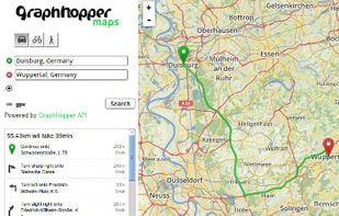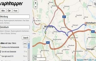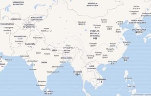

Explore interactive 2D/3D maps with real-time traffic, fast rerouting, extensive location search, category-based place recommendations, and coverage in 160+ regions.


Best alternatives are  CoMapsand
 OpenStreetMap
55 alternativesCoMapsandOpenStreetMap