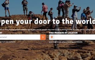
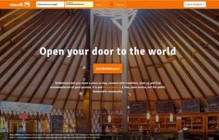
Open your door to the world! Invite travelers to your home, find hosts all over the world and become part of our multicultural hospitality community. We are not-for-profit, open source and run by members in a transparent and democratic way.
+1
Best alternatives are  Airbnband
 Trustroots
15 alternativesAirbnbandTrustroots