
Cost / License
- Free
- Open Source (BSD-2-Clause)
Platforms
- Online

Best alternatives are  Apple Invitesand
 Luma Events
22 alternativesApple InvitesandLuma EventsApple InvitesandLuma Events
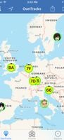
OwnTracks is your location companion, it allows you to keep track of your own location. You can build your private location diary or share it with your family and friends.


Travilis is a travel platform that helps you discover destinations, book stays, connect with local hosts, and manage trip details like visas and itineraries—all in one place. Perfect for personalized, streamlined travel planning.

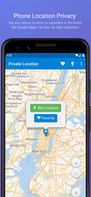
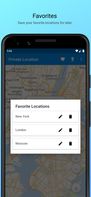
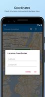
A simple app to set your location to anywhere in the world, and improve general phone location privacy.
 Fake Traveler
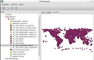
PostGIS adds support for geographic objects to the PostgreSQL object-relational database. In effect, PostGIS "spatially enables" the PostgreSQL server, allowing it to be used as a backend spatial database for geographic information systems (GIS), much like ESRIs SDE...

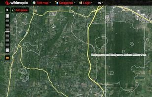
Wikimapia is an online editable map - you can describe any place on Earth. Or just surf the map discovering tonns of already marked places.


 OpenStreetMap
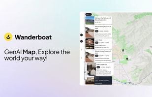
Wanderboat is a travel + outing AI companion to find and sort the best point of interest with videos, images, and insights. From signature dishes to photo spots, you can ask questions freely in-chat, in-document, or on-map for personalized experiences.


 ChatGPTand
 Perplexity
No-code application to explore and publish all kinds of data: datasets, tables, charts, maps, stories, and more. Forever free and open source project powered by open standards and generative AI.
 OpenRefineand
 Datasette
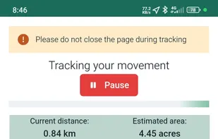
Snappy Mapper lets non-GIS users create geospatial vector data via a simple interface. Collect points and polygons, then export or access them via API — no GIS skills needed.
 Placemark
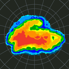
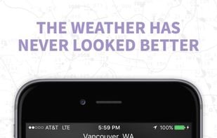
MyRadar provides an extremely fast way to get an overall at-a-glance check at potential radar precipitation headed your way.
 wXand
wXand Clime: NOAA Weather
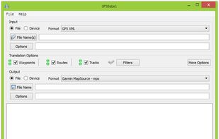
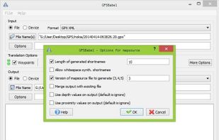
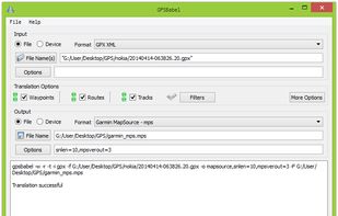
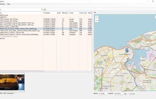
GPSBabel converts waypoints, tracks, and routes between popular GPS receivers such as Garmin or Magellan and mapping programs like Google Earth or Basecamp. Literally hundreds of GPS receivers and programs are supported. It also has powerful manipulation tools for such data.
 RouteConverter


 VolunteerMatch
People Tracker App allows you to stay connected to your employees, friends, family, co-workers... or anyone else you want to locate in real time.


 Glympse
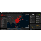
An interactive visualization of reported cases of the Coronavirus COVID-19 outbreak, made by the Center for Systems Science and Engineering (CSSE) at Johns Hopkins University (JHU).
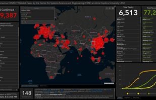
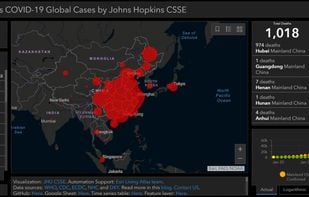
 Corona Dashboard
 Geosetter
Fast, private, and minimalist maps designed for you. Heexy Maps offers a no-tracking, privacy-first alternative for everyday navigation and exploration.
 OpenStreetMapand
 Google Maps
 Google Mapsand
 GMaps WV
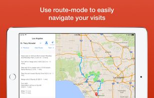
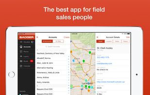
Badger enables the sales team to manage their territory by combining Google Maps, data from the CRM, schedule planning, route optimization, and lead generation on the sales person’s mobile device.
 Salesforceand
 Route4Me
Using your smartphone geolocation abilities, Globe Trotter will detect your position and use Wikipedia database to give you the best information about places around you.

 Wikivoyageand
 Basetrip
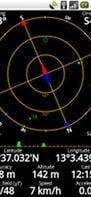
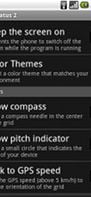
Display your GPS and sensor data: Shows the position, number and signal strength of GPS satellites. Check your position, GPS accuracy, speed, acceleration and bearing. A magnetic compass is included which displays both magnetic and true north.
 Trail Senseand
 GPSTest
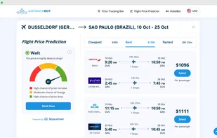
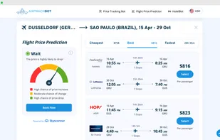
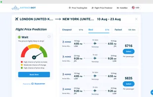
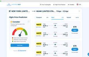
AirTrackBot helps you find cheap flights and save money with price forecasts and fare tracking. See where fares are going soon so you can decide whether to book now or wait for a better price. Turn on tracking and get email alerts the moment the price changes, so you don’t...
 Skyscannerand
 KAYAK
KAYAK
 Google EarthandGoogle Maps
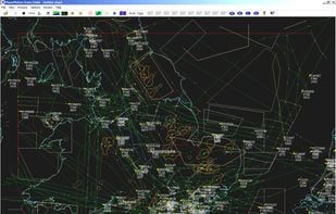
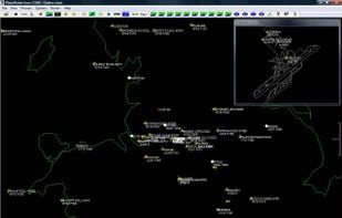
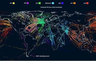
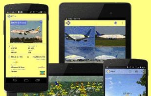
PlanePlotter receives and decodes live digital position reports from aircraft and plots them on a chart. You can see a radar-like display of all those aircraft around you broadcasting digital messages including ACARS, ADS-B and HFDL.
 Flightradar24and
 FlightAware
The #1 open-source Android GNSS/GPS test program. Contribute to barbeau/gpstest development by creating an account on GitHub.
 GPS Status & Toolbox
Ushahidi for collaborative mapping. Collect reports from persons on the ground and your field staff via SMS, email, web app, and Twitter.
 Sahana Eden