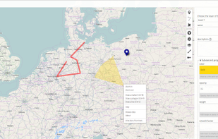
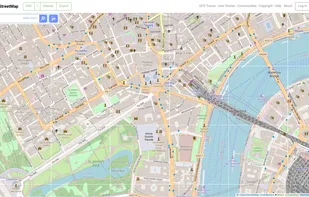
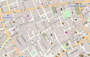
OpenStreetMap is a project aimed squarely at creating and providing free geographic data such as street maps to anyone who wants them. It is a free editable map of the whole world. It is made by people like you.
Best alternatives are  CoMapsand
 Organic Maps
90 alternatives4.8
Excellent31 reviews