
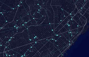
MapLibre GL is a community-led fork derived from mapbox-gl-js before their switch to a non-OSS license.
- Map Service
- Free • Open Source
- Self-Hosted
Best alternatives are  Google Mapsand
 OpenFreeMap
16 alternativesGoogle MapsandOpenFreeMapMapLibre GL is a community-led fork derived from mapbox-gl-js before their switch to a non-OSS license.
Google MapsandOpenFreeMap
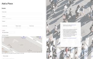
Platform for community contribution and management of location-based experiences, enabling users to enhance shared place data, reach tiered levels, and support developer tools.
 OpenStreetMapand
 2GIS
2GIS
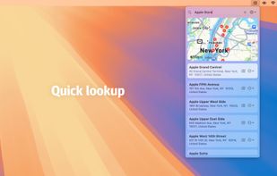
Quickly search for locations directly from your Mac’s menu bar and open them in Apple Maps, Google Maps, or OpenStreetMap.
 CoMapsandOpenStreetMap
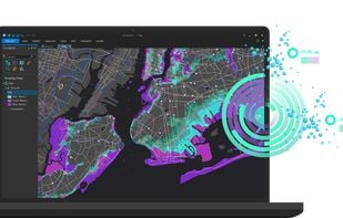
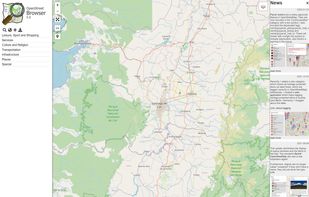
Powering current and next-generation map products by creating reliable, easy-to-use, and interoperable open map data.
 OpenStreetMapandGoogle Maps
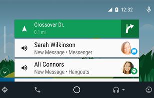
Apple CarPlay is a smarter, safer way to use your iPhone in the car. Just plug in your iPhone and go.

 Android Autoand
 CarOS
CarOS
Magrit is an online thematic mapping application developed by UAR RIATE (CNRS).
 QGIS
QGIS
ArcGIS offers unique capabilities and flexible licensing for applying location-based analytics to your business practices.
 QGIS
QGIS
The new standard for GIS software. Simple and powerful. Step into Atlas to explore, analyze and share geospatial data.
 Google EarthandOpenFreeMap
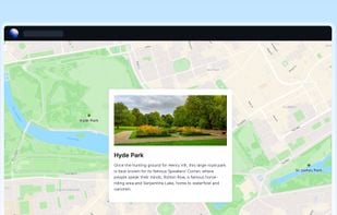
Create custom maps to share and publish online with Google My Maps. You can make maps that show different kinds of information.


Android Auto brings familiar apps and services to the screen in your dash, making it safer and easier to get the information you need while you’re on the road. Test drive Android Auto with your Android 5.0+ device and a compatible vehicle or aftermarket head unit.
 Apple CarPlayandCarOS
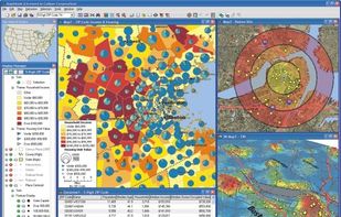
Business mapping software (geographic information system) that delivers affordable, easy-to-use, professional mapping tools for mapping in these sectors: franchising, health care, business, territories, site selection, sales, marketing, banking, more.
 QGISand
 Plus Codes
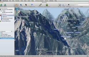
Garmin BaseCamp provides an interface for viewing Garmin map products and managing geographic data. With BaseCamp, you can perform the following tasks:

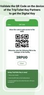
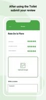
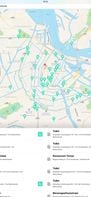
Using TripToilet to find a restroom is very easy. Once you have downloaded the app, a list of the toilets closest to your location will appear, complete with reviews and pictures of travelers. With a couple of taps, you’ll learn where to find the toilet that best suits your...

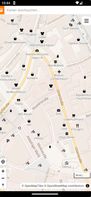
 Toilet Finder
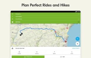
Komoot is the key to the outdoors. Just plan your hiking, road cycling or MTB adventures in the planner, and be guided along every trail, track, road or path—even when you’re offline. Get your first region for free and say hello to your next adventure!
Anonymous map and navigation tool using OpenStreetMap data, offering detailed daily updates, searches for places or routes, and step-by-step planning for cyclists, pedestrians, and drivers.
 CoMapsandOpenStreetMap
Felt lets you create maps collaboratively, using world-class data, and share them in a single click. For team projects or epic adventure with friends.
 Google MapsandOpenFreeMap
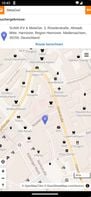
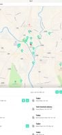
Find every toilet nearby in an instant! More than 150,000 toilets listed for free!


 TripToilet
Advanced offline 3D maps with voice navigation, live traffic, speed camera warnings, multiple route options, dashcam recording, parking, and fuel info.

 CoMapsand
 Organic Maps
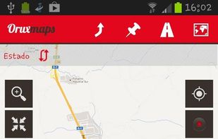
OruxMaps is an online/offline map viewer and track logger for Android. You can use OruxMaps for your outdoor activities (running, trekking, mountain bike, paragliding, flying, nautic sports, etc.)
Features:
Online map viewer The tiles used online can be cached, and can be used.
 CoMapsandOrganic Maps
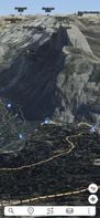
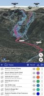
Ascend Maps is an open-source and privacy-friendly application for maps and GPS featuring 3D terrain, offline search, track recording and editing, advanced overlays such as slope angle shading and aspect shading, and more.
 CoMapsandOrganic Maps
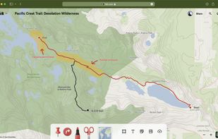
Trusted by professional mountain guides, avalanche educators, and search and rescue teams, CalTopo has all the features you need to plan your next off-grid pursuit.
 CoMapsandGoogle Earth
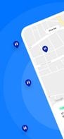
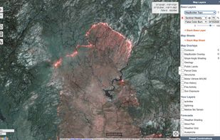
An application to ‘browse’ the information in the displayed part of the map. Similar to common Wikis and also the main page of OpenStreetMap the website shows a narrow menu on the left side, most of the page is used for the display of...
 CoMapsandOpenStreetMap
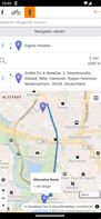
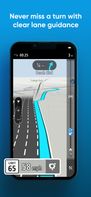
GPS navigation app with real-time traffic updates, customizable routes for cars and trucks, speed alerts, offline maps, and Apple CarPlay compatibility.


 CoMapsandOrganic Maps
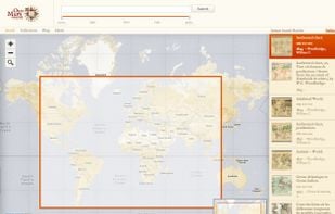
Easy-to-use global search engine for digitized historical maps, featuring interactive geographic and date-based search, linking directly to original map images from libraries and archives.
 Google EarthandGoogle Maps
Flush Toilet Finder is the quickest, simplest way of finding a public bathroom or restroom. Simply open the app and it will display the nearest toilets to you. It's free, no in-app purchases and has over 200,000 bathrooms in its database!
 TripToiletandToilet Finder


