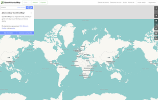
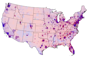
Food Twin Map visualizes the complex network of food production and distribution across the globe.
Cost / License
- Free
- Proprietary
Platforms
- Online
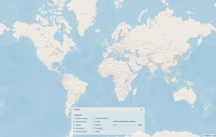
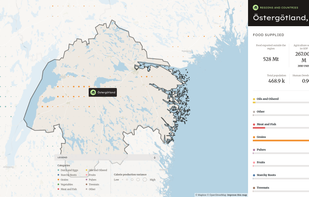
Food Twin Map visualizes the complex network of food production and distribution across the globe.
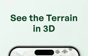
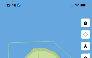
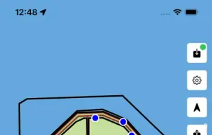
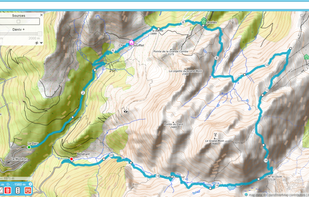
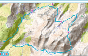
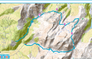
Explore the backcountry with the ultimate mountain toolkit. Outmap combines detailed 3D maps, offline access, intuitive library management, and advanced safety tools.


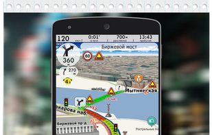
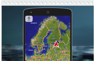
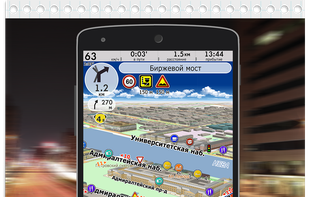
CityGuide is a next-generation offline GPS navigator that offers maps from various vendors, including OSM (OpenStreetMap), HERE (NOKIA) maps, CityGuide maps, and other high-quality maps from national producers.
RapiD is a modified version of the popular OpenStreetMap editing tool, iD , developed by Facebook as a way to add and edit map features generated by AI predictions.
Open Historical Map (OHM) is a site that uses the OpenStreetMap (OSM) software stack as a foundation for building an open source, user-editable historical map. This project's goal is to create the world's most universal, detailed, and...
indoor= generate Mapbox's Vector Tiles (MVT) of OpenStreetMap indoor data. It implements parts of Simple Indoor Tagging.
OsmoTagger is an innovative open-source OpenStreetMap (OSM) editing app, licensed under GPLv3, that enables you to conveniently edit OSM maps right from your mobile device. With OsmoTagger, you can quickly download any map area, add new points, and edit tags for points, lines...
ÖPNVKarte is a public transport map derived from the OpenStreetMap database which puts a special value on the representation of public transport. The map is now available worldwide.
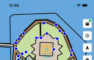
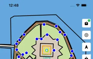
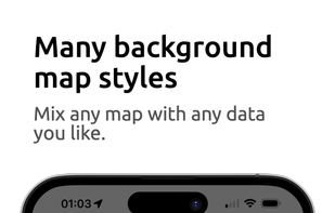
Customize your own map like never before: Combine background maps with real-time layers like gas prices, weather, traffic, light pollution, and 100+ location filters. Plan trips, find essentials, and explore smarter—all in one app.

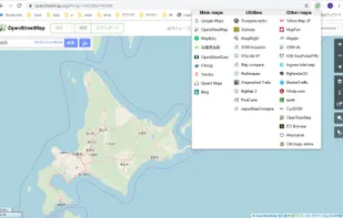
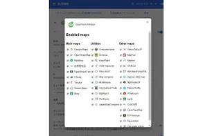
OpenSwitchMaps is an Map service switcher for Chrome/Firefox extension. It has a very simple interface to help OpenStreetMap users quickly change mapping sites.
The Openstreetmap Contributor app allows anyone to contribute to OSM. It enables those-who-know to easily manage a group of newbies as the contribution process is intuitive and easy. Bring your MapParties to a whole new level!.
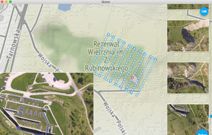
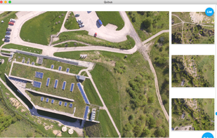
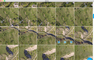
Qubus is a desktop app built with Angular and Electron framework for browsing georefrenced images on OpenStreetMap.
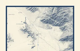
Carto Art is a specialized cartographic design tool that lets you create gallery-quality map posters of any location on Earth.
UrtheCast is developing the world's first near realtime HD Earth video stream, via two cameras mounted aboard the International Space Station (ISS).
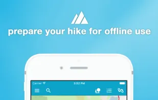
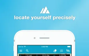
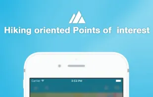
Offline mapping for hiking with customizable styles, overlays, and HD maps, GPS location tracking, marker management, and complete offline access for iOS and Android.

With Opentraveller place markers, draw tracks, change the background map, visualize in 3D your route and print it or export it to GPX.
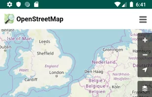
Displays maps from OpenStreetMap, allows rapid switching between multiple map layers, and is a free, privacy-focused, ad-free, open source Android application.