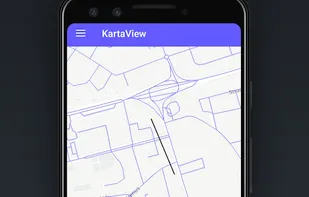
KartaView is a free and open platform for street level imagery. Anyone can contribute images with a smartphone and the open source apps.
Cost / License
- Free
- Proprietary
Platforms
- Online
- Android
- iPhone
- OpenStreetMap
- JavaScript
- Leaflet

+1
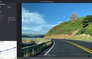
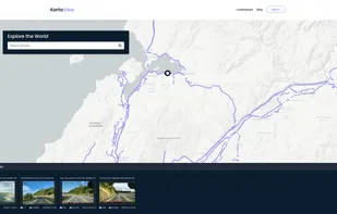
KartaView is a free and open platform for street level imagery. Anyone can contribute images with a smartphone and the open source apps.
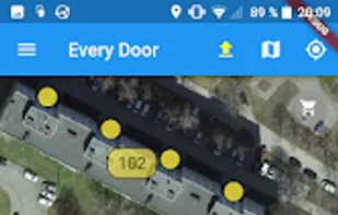
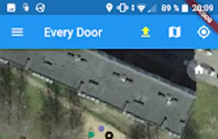
Mobile editing tool for OpenStreetMap adds shops, amenities, and POI. Supports offline use, micro-mapping, and user-contributed map updates.
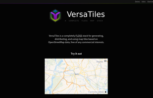
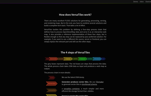
Open-source stack for processing and distributing OpenStreetMap-based interactive map tiles, featuring customizable implementation free of commercial interests.
Create personalized maps using Open Street Map data and integrate them seamlessly into web and mobile applications with advanced styling tools.

Goal of this project is to bring offline maps and navigation to Sailfish OS with native look and feel. OSM Scout for Sailfish OS is based on OSM Scout library.
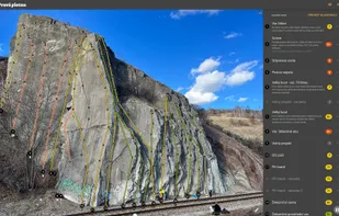
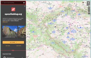
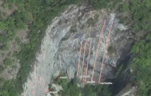
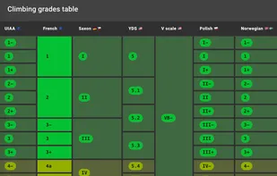
Application for mapping climbing areas and creating interactive climbing guides. All data is open and anyone can edit it – similar to Wikipedia.
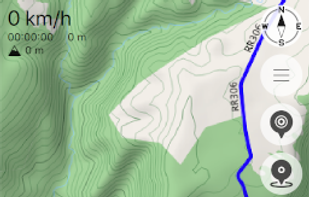
Navigation tool for on-road and off-road use on Android and Linux, featuring compass, GPX tracking, road routing, POI database, and offline mapping.
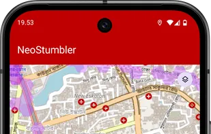
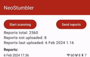
NeoStumbler is an application for collecting locations of Wi-Fi networks, cell towers and Bluetooth beacons to Mozilla Location Services.
OSMv or Simple OSM Viewer is a very simple application that is using library osmdroid to display various maps.
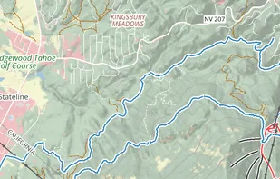
View, edit and create GPX files online : add, move and delete points, merge multiple files, reverse, add timestamps, edit waypoints and more!.


App for collecting OpenStreetMap-compliant accessibility data in public transport and elsewhere.

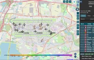
The world’s largest co-op of ADS-B/Mode S/MLAT feeders, and the world’s largest public source of unfiltered flight data. Access to worldwide flight tracking data for hobbyists, researchers, and journalists alike.
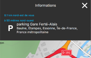
FacilMap is a privacy-friendly, open-source versatile online map that combines different services based on OpenStreetMap and makes it easy to find places, plan trips and add markers, lines and routes to custom maps with live collaboration.

TGTG mission is to place the lost value back onto food as something that should be eaten and not thrown away. Through the TGTG app we’re raising awareness of food waste by making surplus food available for collection before a store closes.


Protomaps is an open source map of the world, deployable as a single static file on cloud storage.
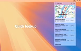
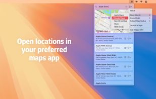
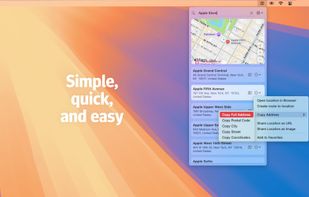
Quickly search for locations directly from your Mac’s menu bar and open them in Apple Maps, Google Maps, or OpenStreetMap.
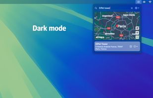
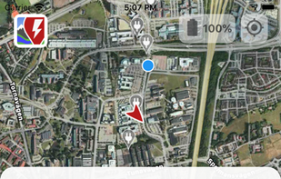
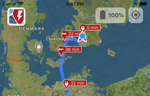
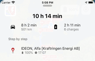
A Better Routeplanner (ABRP) is the world's most respected service to plan, learn and dream about Electric Vehicles - EVs. Simply select your vehicle model, enter your destination and hit plan to get a full trip plan including charge stops and trip duration.
OpenTopoMap is a free topographic map generated from OpenStreetMap and SRTM data. The map style is based on official maps and focuses on good readability through high contrast and balanced signatures.
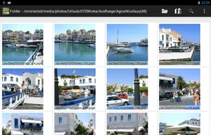
Enhanced Android Gallery App to manage local photos: geotagging with map, tags (keywords), find, sort, view, copy, delete, set gps exif data, send, ... .
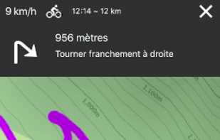
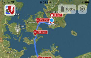
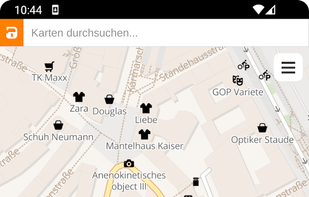
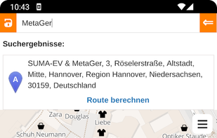
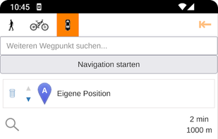
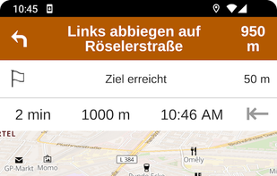
Anonymous map and navigation tool using OpenStreetMap data, offering detailed daily updates, searches for places or routes, and step-by-step planning for cyclists, pedestrians, and drivers.
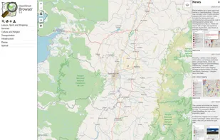
An application to ‘browse’ the information in the displayed part of the map. Similar to common Wikis and also the main page of OpenStreetMap the website shows a narrow menu on the left side, most of the page is used for the display of...
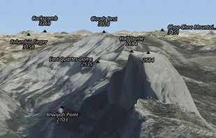
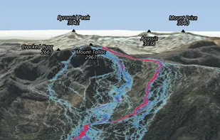
Ascend Maps is an open-source and privacy-friendly application for maps and GPS featuring 3D terrain, offline search, track recording and editing, advanced overlays such as slope angle shading and aspect shading, and more.
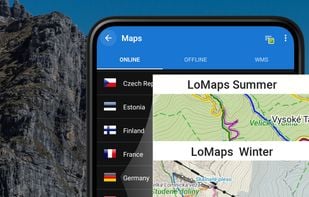
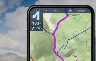
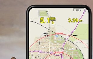
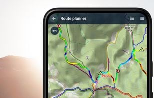
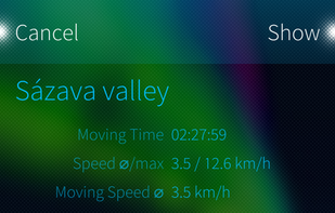
Create, plan, edit, record, save or share your trips, keep the memories, track your performance, and much more. Locus Map is designed for hiking, mountain biking, cycling, running, geocaching, cross-country skiing, and other outdoor activities.