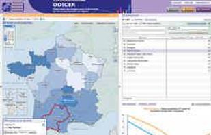
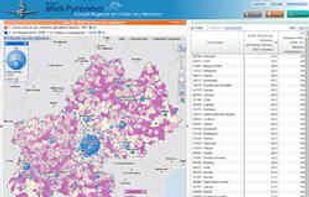
The Géoclip interactive mapping solution is proposed by EMC3. Géoclip permits to publish online thematic atlas or territorial observatories. Géoclip allows you to build web mapping applications for cartographic representations of statistical data.


The Géoclip interactive mapping solution is proposed by EMC3. Géoclip permits to publish online thematic atlas or territorial observatories. Géoclip allows you to build web mapping applications for cartographic representations of statistical data.


Natural Creative Power that's Easy To Use
Natural Graphics is the developer of Natural Scene Designer -- a powerful yet easy to use 3D program which lets you design, render, and animate natural outdoor scenes. Its intuitive interface makes it easy to use for beginners, while.
View the latest world news on a interactive map. Discover hot spots and articles written by high quality newspapers

Dungeon Mapper is a map-making tool to easily create grid based maps for your computer games (dungeon-crawler,rpg) in browser and online publishing.


RPG Map Editor is the new version of ANAmap, an online grid-based map editor for role-playing games with emphasis on simplicity.


Dungeon Builder is an Isometric Dungeon Map Maker that produces beautiful, high resolution maps with a hand drawn look.


Sharemap is an online map creation GIS tool. With ShareMap you can create maps that can be later presented in various formats - as SVG vector graphic, bitmap raster or as interactive web map. Maps are free and licensed with Creative Commons license - it can be used on commercial...


From Wizards of the West Coast, the Dungeon Tiles Mapper lets you create tiled dungeon maps online for free through your browser using a simple grid-based editor. Just select your tiles and drag them where you want them.


Colorbrewer 2.0 is an online tool designed to help people select good color schemes for maps and other graphics.

The GEOCONCEPT solution was designed first and foremost to respond to expectations of users who wanted to leverage the power of geographical data to the fullest.

MapInfo Professional is a powerful, functionally rich desktop mapping application from Pitney Bowes MapInfo, designed to enable organisations to solve business problems that have a geographical element.


WirelessMon is a software tool that allows users to monitor the status of wireless WiFi adapter(s) and gather information about nearby wireless access points and hot spots in real time. WirelessMon can log the information it collects into a file, while also providing...


The Photographer's Ephemeris (TPE) helps you plan outdoor photography in natural light, especially landscape and urban scenes. It's a map-centric sun and moon calculator: see how light will fall on the land, day or night, for any location on earth.


Map-making software for creating tactical-scale top-down battlemaps for RPGs, with a large library of ready-to-use mapping content Add-Ons (including 50 free ones!). Also works with your own artwork/bitmaps, via drag-and-drop.


CADopia is a powerful Computer-Aided-Design software for engineers, architects, designers and drafters — virtually anyone who creates, edits, or views professional drawings.

Industrial strength, user-friendly 2D/3D CAD package. Specialised Toolkits to enhance your productivity. Control Centre allows easy access to symbols, hatching, text, dimension and line styles. Enhanced bitmap capability can load 300 large images. Full compatibility with the late.
Extend the dynamic range of images by blending digital photos and tone mapping. Apply automatic or manual alignment. Get the most realistic results. High Dynamic Range image processing software.


Manifold GIS is a combination of mapping, CAD, DBMS and image processing. The hallmark of GIS is the power of using a visual interface to view, grab, analyze, manipulate and transform data that would not be comprehensible in classic row and column DBMS text presentations.


OpenOrienteering Mapper is an orienteering mapmaking program, thought as a free alternative to the existing proprietary solution. Its main advantages compared to it are:


GM Forge is a Standalone Virtual Tabletop and is a sandbox for GMs. Friends can join through web browsers for free once the GM purchases a copy.


Mapotic is an innovative cloud platform that offers a wide range of map-based products and services to organizations globally, enabling them to effectively leverage the full potential of geolocation data.


Beautiful, User Friendly online mapping software that scales to big data.
The MapLarge API enables user-driven, low latency, interactive visual exploration and analysis of very large geospatial and non-geospatial data collections to recognize patterns and identify anomalies. Use.


Surfer is a full-function contouring, gridding, and 3D surface mapping software. It is used extensively for terrain modeling, bathymetric modeling, landscape visualization, surface analysis, etc.