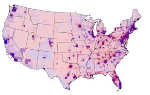
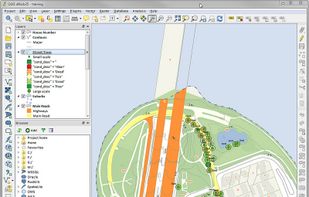
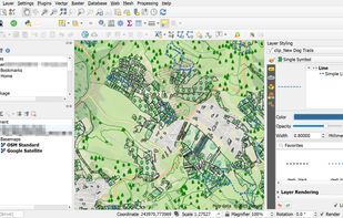
A fully featured, user friendly, open source Geographic Information System (GIS) with similar power to ArcGIS and MapInfo.
 Switzerland



+9


Apps similar to Surfer include QGIS, which is free and open source. Other options are what3words, Plus Codes, ArcGIS and Global Mapper. You can choose from more than 10 GIS Software like Surfer for Windows, the web, Android, Linux and iPhone.
A fully featured, user friendly, open source Geographic Information System (GIS) with similar power to ArcGIS and MapInfo.
Switzerland
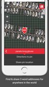
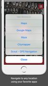
What3words encodes geographic coordinates into 3 dictionary words (for example, the Statue of Liberty is located at planet.inches.most). what3words is different from other alphanumeric location systems and GPS coordinates in that it displays 3 words rather than long strings of...
 United Kingdom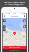


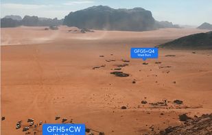
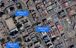
A plus code address looks like a regular address, but with a short code where the street name and number would be. These addresses exist for any location, even for places where there are no roads.
 United States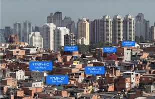


ArcGIS offers unique capabilities and flexible licensing for applying location-based analytics to your business practices.
United States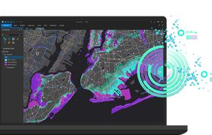


Global Mapper is a cutting-edge GIS software that provides both novice and experienced geospatial professionals with a comprehensive array of spatial data processing tools, with access to an unparalleled variety of data formats.
United States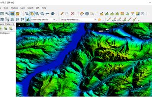
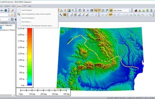
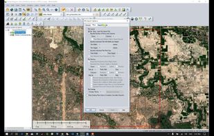
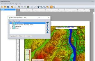


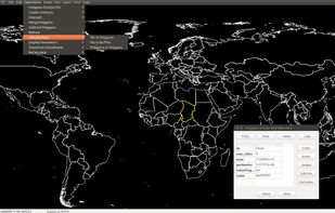
GRASS GIS (Geographic Resources Analysis Support System) is an open source, free software (FOSS) Geographical Information System (GIS) with raster, topological, vector, image processing, and visualization functionality.
United States
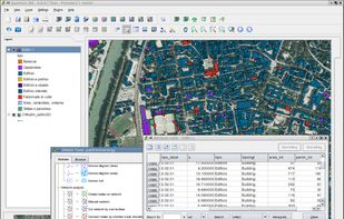


Equator is online mapping software that allows anyone to find, create and publish maps in minutes. One globe, unlimited maps.
United Kingdom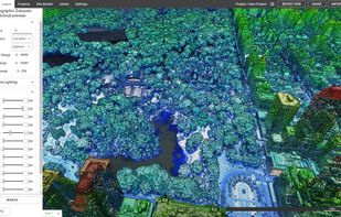


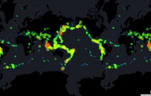
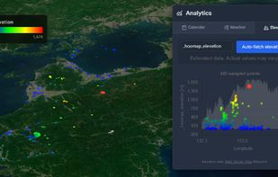
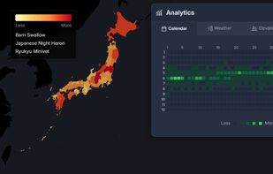
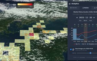
HooMap is a browser-based tool designed to transform CSV and Excel coordinate data into interactive maps in seconds. Built for researchers, students, and data enthusiasts, it allows you to visualize spatial data directly in your workflow without the need for complex GIS software...


Spatial Feature Server by MapET is an ESRI Geoservices REST Implementation and works with all ESRI Rest API's. The source of published data is the spatial extension of the major RDBMS, such Oracle, Microsoft SQLServer, MySQL, PostgreSQL.


Azimap is a web GIS developed on open source principles and offers GI professionals with the tools to visualise, analyse and share their spatial data on the web.

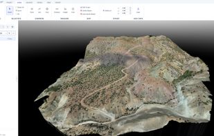
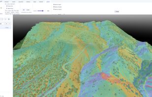
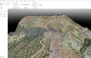
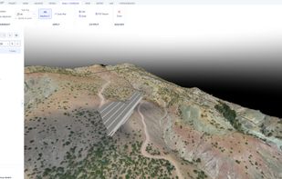
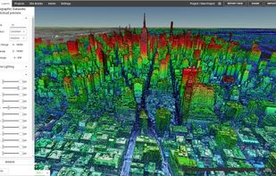
DEM/DSM, orthophotos and point clouds (LAS/LAZ) and explore them in a smooth, GPU-accelerated 3D environment — then measure, analyze and export, all in one tool.
 Türkiye