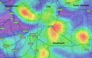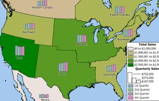


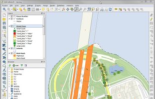
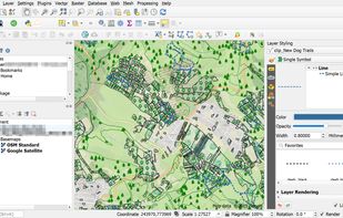
A fully featured, user friendly, open source Geographic Information System (GIS) with similar power to ArcGIS and MapInfo.
 Switzerland



+9





Sites and apps similar to Vizzie include QGIS, which is free and open source. Other options are Tableau, RAWGraphs, Microsoft Power BI and uMap. There's no shortage of Map Services like Vizzie, with more than 25 alternatives for Windows, self-hosting, Mac, Android and iPhone.
A fully featured, user friendly, open source Geographic Information System (GIS) with similar power to ArcGIS and MapInfo.
Switzerland
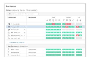
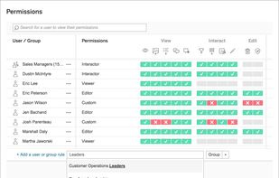
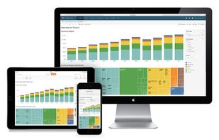
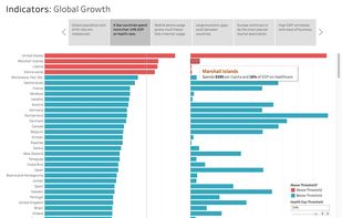
Tableau helps the world’s largest organizations unleash the power of their most valuable assets: their data and their people.
 United States


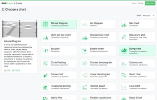
RAWGraphs is an open source app built with the goal of making the visualization of complex data easy for everyone. Born as tool for designers and vis geeks, RAWGraphs aims at providing a missing link between spreadsheets and vector graphics editors.
 Italy
 EU


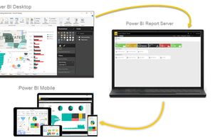
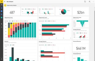
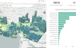
Utilize Microsoft's Power BI to convert varied data sources into interactive visual insights. It includes Power BI Desktop, online services, and mobile apps, allowing the creation, sharing, and consumption of business insights on any device, tailored to diverse business needs.
United States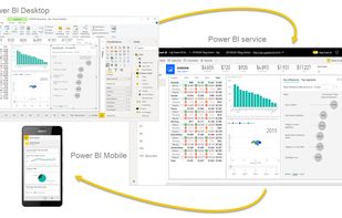



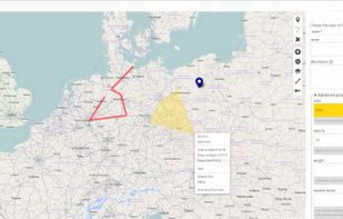
uMap let you create maps with OpenStreetMap layers in a minute and embed them in your site. Add custom annotations, lines, shapes, import and add custom layers (KML, CSV, GPS, ...) and other data.
 FranceEU
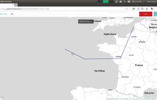


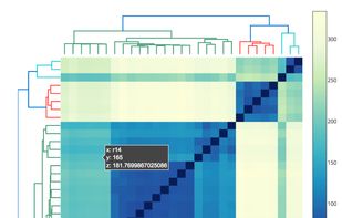
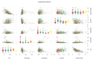
Plotly is the easiest way to graph and share data online. Open-source libraries for JavaScript (comparison with HighCharts at https://plot.ly/highcharts-alternative/), Python, R, and MATLAB.
United States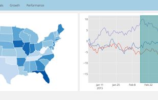


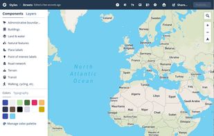
Design personalized maps with extensive Open Street Map data, integrating them into web and mobile platforms. Utilize styling tools for custom aesthetics, support real-time data overlays, 3D terrain, geospatial analytics, and encourage collaboration for comprehensive mapping solutions.
United States


ArcGIS offers unique capabilities and flexible licensing for applying location-based analytics to your business practices.
United States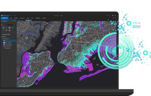


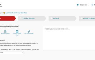
Create charts and maps in just four steps. This tool reduces the time you need to create visualizations from hours to minutes.
 GermanyEU


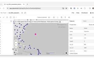
The Placemark application. This is a web application that lets you import, create, export, visualize, and publish geospatial data. It supports many geospatial data formats, and many editing operations, both algorithmic, like buffering, and drawing-based.


Create custom maps to share and publish online with Google My Maps. You can make maps that show different kinds of information.
United States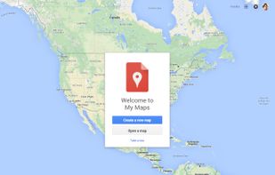


Business mapping software (geographic information system) that delivers affordable, easy-to-use, professional mapping tools for mapping in these sectors: franchising, health care, business, territories, site selection, sales, marketing, banking, more.
United States