


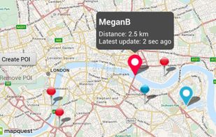
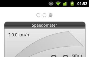
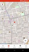
LockOnMe is a flexible location-sharing app, displaying targets and/or associated Points Of Interest on OpenStreetMap & fun radars (incl. a "Motion Tracker" inspired by Aliens2).
Cost / License
- Free
- Proprietary
Since
- Since 2014




+4
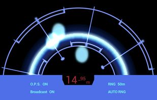


LockOnMe is a flexible location-sharing app, displaying targets and/or associated Points Of Interest on OpenStreetMap & fun radars (incl. a "Motion Tracker" inspired by Aliens2).

Kilroy is a location-based bulletin board. No user registration and posting can be completely anonymous. It allows you to tell other Kilroy users nearby about what you learn in the area. Maybe the restaurant you are in has an unadvertised special or you ordered the biscuits...
 United States




The only app that combines real-time alerts with the best offline radar detection alert system. With Radarbot, you will have the best radar alerts, real time traffic alerts and specific speed limit alerts for different vehicles (cars, motorbikes, trucks and commercial vehicles)...
 Spain
 EU





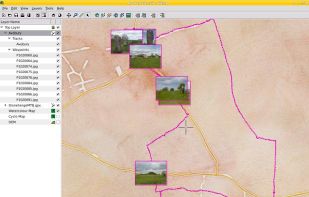
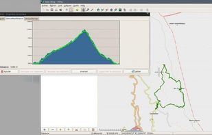
Viking is a free/open source program to manage GPS data. You can import, plot and create tracks, routes and waypoints, show OSM, Terraserver, Bing Aerial and other maps, geotag images, see real-time GPS position, get geocaches, control items, etc.



Record anything in one place, reflect on your life, form habits, reduce stress, sleep better, feel calmer, and happier through guided journaling.




 CherryTree

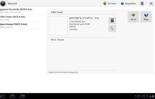
Maverick is a GPS off-road navigation app for Android devices. It automatically caches all your maps for offline use so that you can access them even without an Internet connection. This app is great for hiking, boating, geocaching, and other outdoor activities.
 Australia

 OpenStreetMapand


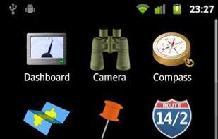
The most complete GPS tool on market: Navigate, manage waypoints, tracks, routes, build your own dashboard from 45 widgets.
 GermanyEU
 Trail Sense

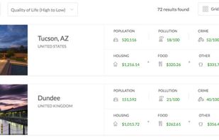
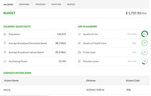
The Earth Awaits is a tool for long-term travelers, students taking a gap year, retirees, and anyone else with an irrepressible wanderlust. By providing just a few simple pieces of information, you can find a city that matches your lifestyle and budget.

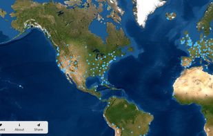
VidEarth lets you explore thousands of videos from around the globe. Blue dots cover the map, waiting to be clicked.
United States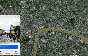


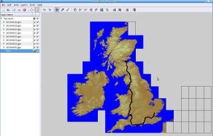
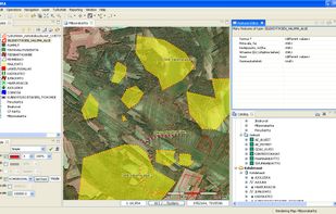
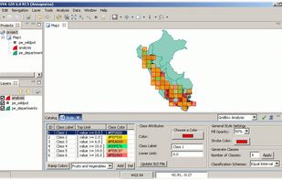
uDig is a GIS software program produced by a community led by Canadian-based consulting company Refractions Research. It is based on the Eclipse platform and features full layered open source GIS. It is written in Java and released under GNU Lesser General Public License.
 Canada
 QGISand


 ItalyEU






Matrix showcases some of the freshest travel search ideas from ITA Software. Version 3.0 has been completely rebuilt to run on Google technology.
United States



CityZen is an open source Android app that helps you navigate and explore your city easily. With CityZen you find points of interest (POIs) such as ATMs, gas stations, drugstores, mobile phone stores and other interesting services near you.
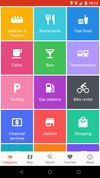
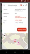

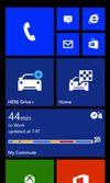
HERE Drive+ offers true offline, turn-by-turn voice-guided navigation in 97 countries. Just download the maps you need and HERE Drive+ will get you there without an Internet connection or roaming charges.
 FinlandEU
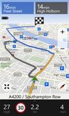
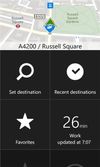

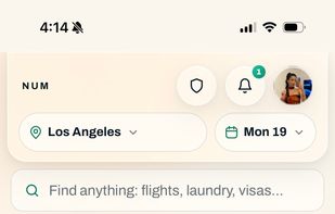
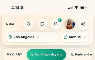
Num is an AI travel concierge that connects verified travelers with authentic local businesses, handling tailored suggestions and direct bookings through its own proprietary transaction system.
United States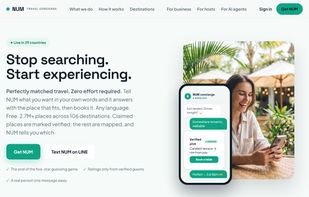


 United Kingdom






A location intelligence and visualization engine that empowers you to effortlessly transform data into insights. With CartoDB, connect and map location data, quickly customize your visualizations, and develop powerful location based apps.

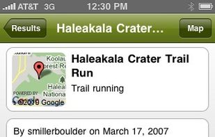
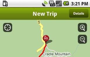
TRACK, SHARE, EXPLORE... Blaze your own trail with EveryTrail! Track your trips, take photos and add your story. Then share it all with one click at EveryTrail.com, Facebook and Twitter.
United States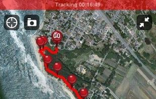



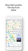
Easily get a new location with just one tap. Save your photos and send them to your friends by Facebook, Twitter, or Instagram.


The best cities to live and work remotely for Digital Nomads, based on cost of living, internet speed, weather and other metrics.


MapStylr is a free online tool that helps you create, store and publish unique map styles with easy/nice user interface. Knowing that each site has different design and style, our mission is to offer to our users the possibility of generating unique map styles to fit your...


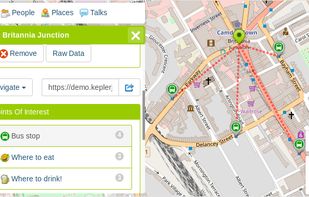
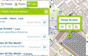
KeplerJs is a open source geosocial solution that lets users share favorite places and join discussions in real-time. It can be seen as a platform where users can interact with other open data platforms searching across OpenStreetMap, Geonames among other sources.
ItalyEU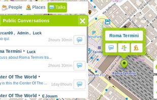
 OpenStreetMapand

Explore the world with complete freedom. From the comfort of your living room you can teleport almost anywhere you might want to go.
United States


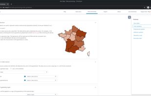
 QGIS


