

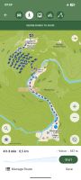
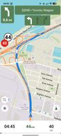
CoMaps is a new community-driven map app project born out of the desire to create a truly open, transparent, and community-focused navigation app.
- Global




Best alternatives are  OpenStreetMap
64 alternativesOpenStreetMap4.9
Excellent21 ratings


CoMaps is a new community-driven map app project born out of the desire to create a truly open, transparent, and community-focused navigation app.
OpenStreetMap
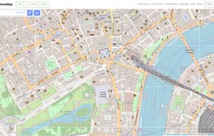
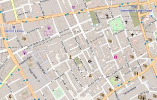
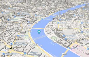
Browse, search and edit worldwide map data for roads, paths, places, buildings and natural features, then reuse it under an open data licence.
 United Kingdom
 CoMapsand
 Organic Maps

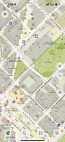
Privacy-focused GPS app with offline maps and community development, featuring real-time navigation, no location tracking, and open-source software.
 Estonia
 EU
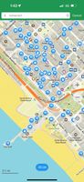
 CoMapsandOpenStreetMap

Navigate efficiently with real-time traffic updates, turn-by-turn GPS, panoramic street views, and comprehensive route planning for multiple platforms.
 United States





 CoMapsandOpenStreetMap

Navigation app with offline and online OSM maps, turn-by-turn voice guidance, cycling and driving modes, GPX tracking, POI search, and monthly updates.
 NetherlandsEU
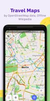
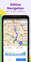
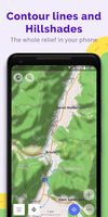 CoMapsandOpenStreetMap

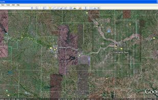
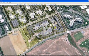
Explore Earth's vast landscapes and urban wonders with detailed satellite imagery, offline access, and ad-free experience.
United States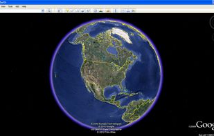
 OpenStreetMapand
 HERE WeGo

Degoogled maps & turn-by-turn navigation for Android - MapLibre + Jetpack Compose, no Google Play Services


 CoMapsandOrganic Maps

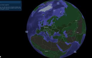
Open-source web maps platform featuring place search, street photos, and route planning for walking, cycling, public transit, and car-sharing. Hosted in France, privacy-focused.
 FranceEU
 CoMapsandOpenStreetMap

Breezy Weather is a weather app with a strong focus on design, with a simple, clean UX, smooth animations, and Material Design all over, plus lots of customizability.
FranceEU



Real-time navigation with community-reported traffic and hazard alerts, voice guidance, and map editing, ensuring a smoother drive every day.
United States


 CoMapsandOrganic Maps

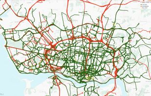
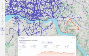
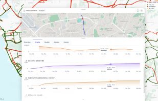
Self-hosted GPS track archive for importing, mapping, filtering and analyzing recorded activities, with statistics, 3D replay, media and route planning.
 Switzerland

 wandererand
 gpx.studio

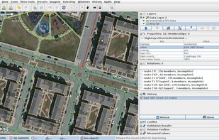
Help to improve the OpenStreetMap with StreetComplete by completing quests which consists of simple questions about the world around you.
 GermanyEU




Navigation app using OpenStreetMap data with offline maps for 233 countries, real-time traffic, transit info, multiple modes, privacy, and detailed routes.
NetherlandsEU


 CoMapsandOrganic Maps

Self-hosted trip planner for real-time collaboration, drag-and-drop itineraries, interactive maps, budget tracking, packing lists, and group coordination.



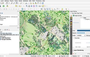
A fully featured, user friendly, open source Geographic Information System (GIS) with similar power to ArcGIS and MapInfo.
Switzerland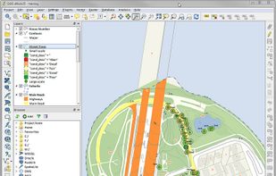


 Overpass Turbo

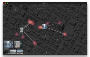
Easily find a photo's location with GeoSpy, the AI-powered tool for precise photo geolocation. Perfect for investigations, OSINT, and discovering where photos were taken.
United States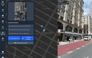
 Overpass Turboand

MAPS.ME offers the quickest offline maps of all the countries of the world. Travel with full confidence: wherever you are, MAPS.ME addresses all your offline mapping needs.
 Russia

 CoMapsandOpenStreetMap

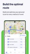
Free navigation app with offline maps for over 100 countries. Offers turn-by-turn voice guidance, route planning for multiple transport modes, and real-time traffic updates.
NetherlandsEU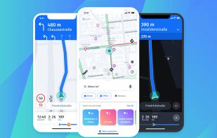


 CoMapsandOpenStreetMap

Restricted WebView wrapper for Google Maps web version, blocking trackers, forcing HTTPS, clearing private data on close, with optional location permission.
CoMapsandOpenStreetMap
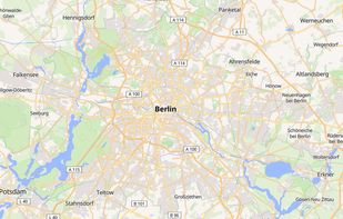
Free map hosting solution offers customizable map styles from OpenStreetMap, with no usage limits or registration required.
 HungaryEU

 United Kingdom
 StreetCompleteand


quickly find the place you’re looking for by searching for a city or street, or locate a place to meet a friend.
United States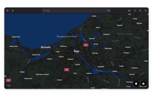
 CoMapsandOrganic Maps

Get travel advice, read reviews, and plan your trips with user-generated insights. Book hotels, experiences, and find nearby dining with confidence.
United States

























 Czechia