


Explore Earth from space to sea with detailed satellite imagery, 3D buildings, and ad-free service. Save toured places, share them, and explore offline all points of interest around the globe.
 United States
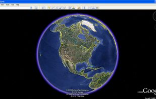

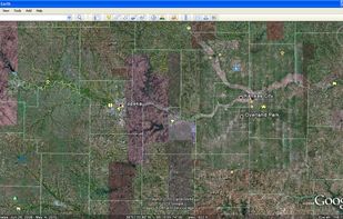

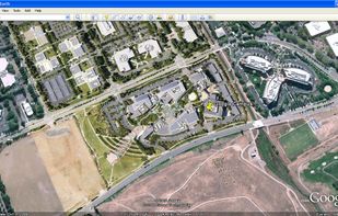


Sites and apps similar to Abc-Map include Google Earth, which is free for personal use. Other options are QGIS, MAPS.ME, OpenFreeMap and Kugelblitz. You can choose from more than 10 Map Services like Abc-Map for Mac, Windows, Linux, Android and iPhone.
Explore Earth from space to sea with detailed satellite imagery, 3D buildings, and ad-free service. Save toured places, share them, and explore offline all points of interest around the globe.
United States
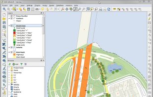
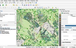
A fully featured, user friendly, open source Geographic Information System (GIS) with similar power to ArcGIS and MapInfo.
 Switzerland




MAPS.ME offers the quickest offline maps of all the countries of the world. Travel with full confidence: wherever you are, MAPS.ME addresses all your offline mapping needs.
 Russia





This software provides free, customizable map hosting from OpenStreetMap for apps and websites, with a completely open-source platform, no usage limits, registration, or user databases required. Supports self-hosting and public instance use with frequent planet data downloads.
 Hungary
 EU
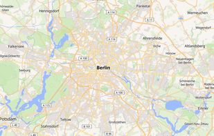
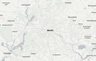
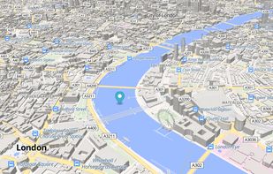

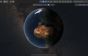
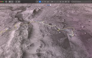
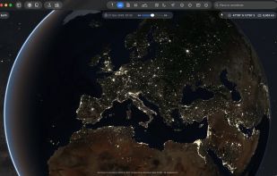
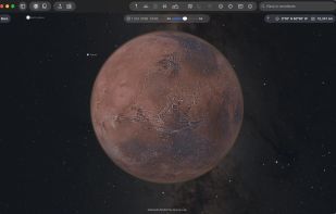
The Earth and its neighbors as a 3D globe and atlas for the Mac – maps and open geodata on real terrain.
 GermanyEU


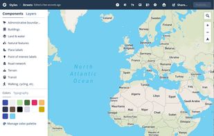
Design personalized maps with extensive Open Street Map data, integrating them into web and mobile platforms. Utilize styling tools for custom aesthetics, support real-time data overlays, 3D terrain, geospatial analytics, and encourage collaboration for comprehensive mapping solutions.
United States


VersaTiles is a fully open-source stack for generating, distributing, and using map tiles from OpenStreetMap data, eliminating the need for combining multiple tools. Featuring a four-step, customizable process chain, it allows flexible integration of different tile sources, servers, and frontends.
United States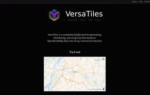



ArcGIS offers unique capabilities and flexible licensing for applying location-based analytics to your business practices.
United States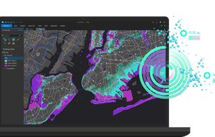


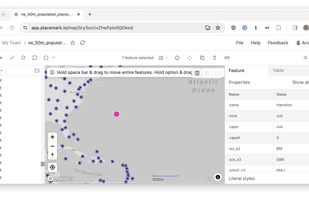
The Placemark application. This is a web application that lets you import, create, export, visualize, and publish geospatial data. It supports many geospatial data formats, and many editing operations, both algorithmic, like buffering, and drawing-based.


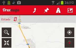
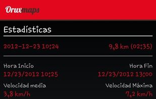
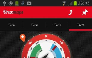
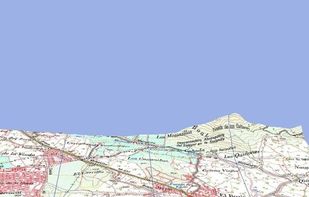
OruxMaps is an online/offline map viewer and track logger for Android. You can use OruxMaps for your outdoor activities (running, trekking, mountain bike, paragliding, flying, nautic sports, etc.)
Features:
Online map viewer The tiles used online can be cached, and can be used.
 SpainEU


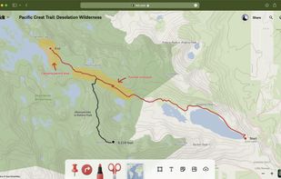
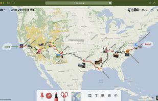
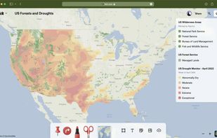
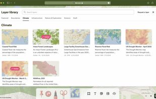
Felt lets you create maps collaboratively, using world-class data, and share them in a single click. For team projects or epic adventure with friends.







 France