OsmAnd Alternatives
OsmAnd is described as 'Navigation app with offline and online OSM maps, turn-by-turn voice guidance, cycling and driving modes, GPX tracking, POI search, and monthly updates' and is a very popular GPS Navigation service in the travel & location category. There are more than 50 alternatives to OsmAnd for a variety of platforms, including Android, iPhone, Android Tablet, iPad and Web-based apps. The best OsmAnd alternative is Organic Maps, which is both free and Open Source. Other great apps like OsmAnd are OpenStreetMap, CoMaps, Google Maps and Magic Earth.
filter to find the best alternatives
OsmAnd alternatives are mainly GPS Navigation Services, but if you're looking for Map Services or Travel Planners you can filter on that. Other popular filters include iPhone + Based on OpenStreetMap. These are just examples - use the filter bar below to find more specific alternatives to OsmAnd.- GPS Navigation Service
- Freemium • Open Source
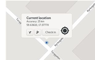
Maps gives you quick access to maps all across the world. We use the collaborative OpenStreetMap database, enabling our users to make smaller changes to places and points-of-interests.
License model
- Free • Open Source
Application types
Country of Origin
United States
Platforms
- Linux
- Linux Mobile
- Flathub
- GNOME
Comments about GNOME Maps as an Alternative to OsmAnd
LinuxDogeLooks VERY promising! Full convergence support with adapting Interface depending on window / screen size. Navigation, OSM profile integration, POI display.
OF course it cant yet be compared with OSMAnd but may be in the future.
- 96 OruxMaps alternatives
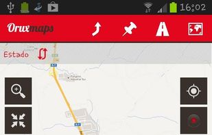
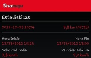
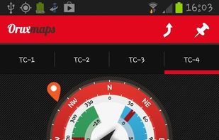
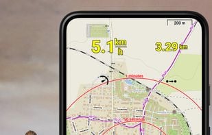
OruxMaps is an online/offline map viewer and track logger for Android. You can use OruxMaps for your outdoor activities (running, trekking, mountain bike, paragliding, flying, nautic sports, etc.)
Features:
Online map viewer The tiles used online can be cached, and can be used.
License model
- Free • Proprietary
Application types
Country of Origin
Spain
EU
Platforms
- Android
OruxMaps Features
- 49 Komoot alternatives
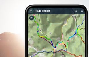
Komoot is the key to the outdoors. Just plan your hiking, road cycling or MTB adventures in the planner, and be guided along every trail, track, road or path—even when you’re offline. Get your first region for free and say hello to your next adventure!
License model
- Freemium • Proprietary
Application types
Country of Origin
Germany
EU
Platforms
- Online
- Android
- iPhone
- Android Tablet
- iPad
- Apple Watch
Komoot Features
- 49 Sygic GPS Navigation alternatives
Sygic GPS Navigation & Maps is the most advanced GPS navigation app with 3D offline maps from TomTom, accurate door-to-door voice guided navigation and free map updates.
License model
- Freemium • Proprietary
Application types
Country of Origin
Slovakia
EU
Platforms
- Android
- iPhone
- Android Tablet
- HUAWEI AppGallery
- iPad
- Apple Watch
Sygic GPS Navigation Features
- 45 Locus Map alternatives
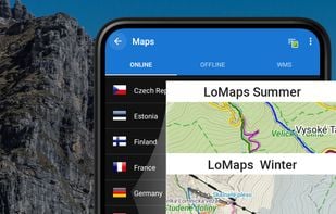
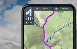
Create, plan, edit, record, save or share your trips, keep the memories, track your performance, and much more. Locus Map is designed for hiking, mountain biking, cycling, running, geocaching, cross-country skiing, and other outdoor activities.
License model
- Freemium • Proprietary
Application types
Country of Origin
Czechia
EU
Platforms
- Android
- Android Tablet
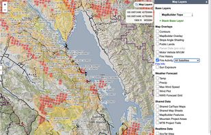
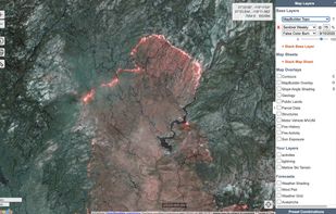
- 15 CalTopo alternatives
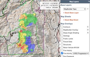
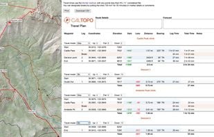
Trusted by professional mountain guides, avalanche educators, and search and rescue teams, CalTopo has all the features you need to plan your next off-grid pursuit.
License model
- Freemium • Proprietary
Application types
Country of Origin
United States
Platforms
- Online
- Android
- iPhone
- Android Tablet
- iPad
CalTopo Features
- 39 Marble alternatives
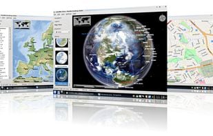
Marble is a Virtual Globe and World Atlas that you can use to learn more about Earth: You can pan and zoom around and you can look up places and roads. A mouse click on a place label will provide the respective Wikipedia article.
License model
- Free • Open Source
Application types
Country of Origin
Germany
EU
Platforms
- Mac
- Windows
- Linux
- PortableApps.com
- Flathub
- Snapcraft
- Flatpak
- 46 TomTom GO Navigation alternatives
GPS software offering real-time traffic data, customizable navigation for cars and trucks, offline maps, speed alerts, lane guidance, and Apple CarPlay. Supports smart journeys and truck-specific needs like rest-stop finding and dangerous cargo inputs.
License model
- Paid • Proprietary
Application types
Country of Origin
Netherlands
EU
Platforms
- Android
- iPhone
- Android Auto
- Apple Car Play
TomTom GO Navigation Features
Provides GPS navigation for on-road and off-road journeys on Android and Linux, utilizing a forked libosmscout backend, with GPX reading and writing, compass, trip tracker, road routing, POI database, offline mapping, data import/export, and suitable for outdoor activities.
License model
- Free • Open Source
Application type
Country of Origin
France
EU
Platforms
- Android
osmin Features
Privacy-focused WebView tool for accessing the Google Maps web interface, enforcing HTTPS, blocking trackers, clearing private data on close, supporting toggleable location access, offering step-by-step directions but no real-time navigation, and not clearing cache automatically.
License model
- Free • Open Source
Application types
Country of Origin
- International
Platforms
- Android
- F-Droid
- 42 AllTrails alternatives
Explore the outdoors with AllTrails! Discover nature with hiking, biking, backpacking and running trails around the world. Log your hike, walk, run or mountain bike ride with our GPS activity tracker. Looking for a good spot for camping or backpacking?
License model
- Freemium • Proprietary
Application types
Country of Origin
United States
Platforms
- Online
- Android
- iPhone
- Apple Watch
AllTrails Features
Free GPS navigation using offline OpenStreetMaps, monthly updates, voice navigation in multiple languages, route planning, speed and camera alerts, 2D/3D maps, traffic info, CarPlay beta support, and customizable routing for over 200 countries.
License model
- Freemium • Proprietary
Application type
Country of Origin
Czechia
EU
Platforms
- Windows
- Android
- iPhone
- Android Tablet
- HUAWEI AppGallery
- iPad
- Android Auto
- Kindle Fire
- Apple Car Play
MapFactor Navigator Features
Uses the same data as OSMand, but has less features. So since OSMand is free and open source, I can’t really see the point on mobile. If you need an “OSMand light” on the desktop, and use Gnome or accept Gnome libraries, it’s certainly better than selling your data to Google though. :)