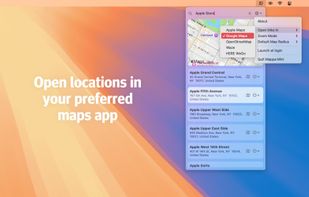
Quickly search for locations directly from your Mac’s menu bar and open them in Apple Maps, Google Maps, or OpenStreetMap.



OsmAnd is described as 'Navigation app with offline and online OSM maps, turn-by-turn voice guidance, cycling and driving modes, GPX tracking, POI search, and monthly updates' and is a very popular GPS Navigation service in the travel & location category. There are more than 100 alternatives to OsmAnd for a variety of platforms, including Android, iPhone, Web-based, iPad and Android Tablet apps. The best OsmAnd alternative is CoMaps, which is both free and Open Source. Other great apps like OsmAnd are Organic Maps, OpenStreetMap, Google Maps and Magic Earth.
Quickly search for locations directly from your Mac’s menu bar and open them in Apple Maps, Google Maps, or OpenStreetMap.


Public transport navigator that finds journeys between specified locations, and shows departures and real-time delay information.

Offline navigation app providing worldwide maps from OSM, using Mapsforge-vtm for map display, Graphhopper for multi-mode routing, downloadable maps, turn-by-turn navigation, address search, privacy focus, no ads, lightweight interface, and community-supported updates.


Arrow is a lightweight navigation app designed for travellers who want to explore without distractions. Instead of a map, you get a clean arrow that always points you in the right direction - no zooming, dragging, or rerouting needed.


Privacy-focused online map service using OpenStreetMap data, offers daily-updated maps, anonymous browsing, place and POI search, step-by-step navigation for walking, cycling, driving, route exporting, web search integration, multi-language support, and no ads.


Offline mapping for hiking on iOS and Android offers customizable map styles, overlays, HD detail toggles, location tracking, advanced GPS settings for battery savings, detailed search, marker creation, and access to weather, itineraries, and all data offline.


Offers turn-by-turn GPS voice navigation, live traffic updates, customizable routing, group chat, real-time location and ETA sharing, commute alerts, meet-up planning, pit stop features, access to local amenities, hands-free operation, and privacy controls for location sharing.
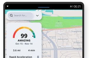
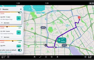
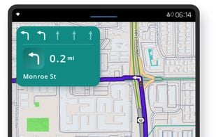
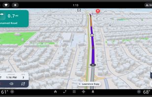

Ascend Maps is an open-source and privacy-friendly application for maps and GPS featuring 3D terrain, offline search, track recording and editing, advanced overlays such as slope angle shading and aspect shading, and more.


Delivers driving, walking, and public transit guidance with real-time voice navigation, offline map downloads, traffic alerts, 3D city imagery, street-level panoramas, multi-search support, detailed business info, indoor venue maps, parking reminders, and device syncing.


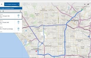

The Headway Project was born out of a frustration with the need to send current and future location data to a corporation in order to figure out how we’re getting from A to B. Offline-only maps apps can be frustrating to use, and sometimes suffer from performance problems, poor...
maps.earth is the most popular Self-Hosted alternative to OsmAnd.