


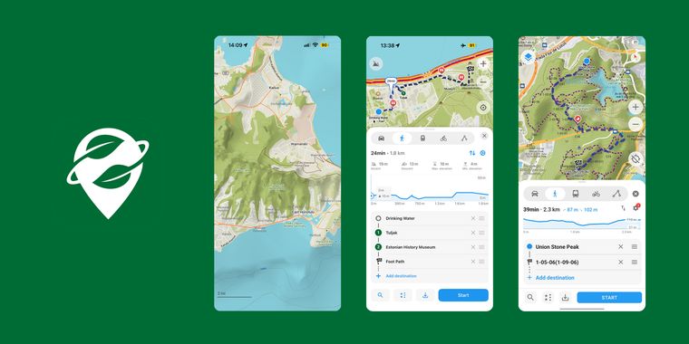

Organic Maps rolls out 3D terrain, ocean depths, imported areas, improved routing and more
Organic Maps has shipped a substantial update centered on a richer, more detailed map experience. The open-source navigation app now renders 3D terrain with elevation available anywhere on the map, displays ocean depths, and draws contour lines with heights labeled in both meters and feet. Alongside the new landscape features, users can import and view KML, KMZ, and GeoJSON files as colored areas with configurable outlines, fills, and holes — a boon for hikers sharing trails or travelers marking regions of interest. The app has also refreshed its underlying OpenStreetMap and Wikipedia data.
Routing has received notable attention as well. Avoidance settings, such as steering clear of toll roads, unpaved roads, or ferries, are now configured separately for driving, cycling, and walking. Additionally, on both iOS and Android, a new button lets users reverse a route together with all of its stops in one tap.
Android users get the biggest haul of extras: a redesigned speed and speed limit display that extends to Android Auto, a full-screen public transport mode showing boarding stops, transfers, exits, and expandable lists of intermediate stops, and a home screen widget for launching track recording that shows elapsed time, distance, and elevation at a glance. Altitude measurements on Android are now displayed and recorded relative to mean sea level, and a one-time reminder prompts users to check battery restrictions before recording begins, complete with a shortcut to the relevant system settings. The release rounds out with numerous other improvements, updated translations, and bug fixes.




- GPS Navigation Service
- Free
- Open Source
Related news
External links
- Organic Maps November 2026 update: 3D terrain, ocean depths, imported areas, and route reversalOrganic Maps • Official source
No comments so far, maybe you want to be first?