All Travel & Location Apps Page 16 of 103

All apps in All Travel & Location Apps category. Use the filters below to narrow down your search. 

Popular filters:

Copy a direct link to this comment to your clipboard
  1. MapTiler Cloud icon
     13 likes

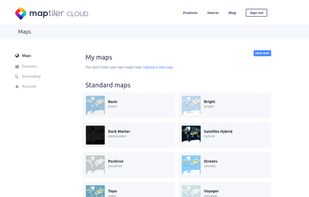
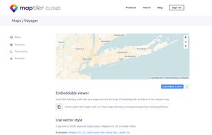
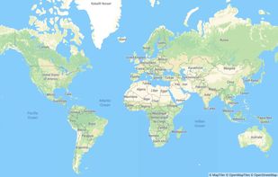
    Online maps for web, mobile apps and desktop software. You can change colors, add or remove particular map elements or enhance the map with own geodata.

    Cost / License

    • Freemium
    • Proprietary

    Application type

    Since

    • Since 2018

    Platforms

    • Online
    • CH flagSwitzerland
    After you crate a free account
    The services provided
    One of the base maps
    +4
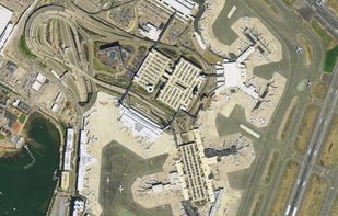
    Satellite layer
    33 alternatives
  2. dobudex icon
     2 likes

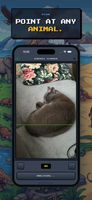
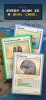
    A Pokédex for real animals. Scan animals and grow your collection. dobudex identifies the species and turns it into a card you keep, and some are rarer than others. Every walk with your kids becomes a fun game. Free to try on iPhone and Android.

    Cost / License

    • Freemium
    • Proprietary

    Since

    • Since 2026

    Platforms

    • Android
    • iPhone
    • NL flagNetherlands
    • European Union flagEU
    dobudex screenshot 1
    dobudex screenshot 2
    dobudex screenshot 3
    8 alternatives
  3. Make high-dpi maps for print applications within minutes, using the Printmaps editor. Put custom geo data such as routes or shapes onto your map, or geocode hundreds of addresses to populate your map with POIs.

    Cost / License

    • Paid
    • Proprietary

    Application type

    Since

    • Since 2020

    Platforms

    • Online
    2 alternatives
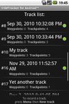
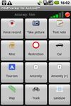
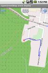
  4. OSMTracker stands for OpenStreetMap Tracker. It allows you to track your journey and mark significant way points. Way points can be marked with a tag using a button, with a quick voice record, a text note or by taking a picture.
    Cost / License

    Since

    • Since 2019

    Platforms

    • Android
    OSMTracker for Android screenshot 1
    OSMTracker for Android screenshot 2
    OSMTracker for Android screenshot 3
    8 alternatives
  5. NOGAPPS Network Location is a geolocation app using wlan and data from Apple or a database of gsm phone cells at /sdcard/.nogapps/cells.db

    Cost / License

    • Free
    • Open Source

    Since

    • Since 2013

    Alerts

    • Discontinued

    Platforms

    • Android
    • Android Tablet
    2 alternatives
  6. imyPass iPhone Location Changer is good location changer, which helps you set, change, and customize the location as you like on your iOS devices.

    Cost / License

    • Paid
    • Proprietary

    Since

    • Since 2024

    Platforms

    • Windows
    • Mac
    • CN flagChina
    imyPass iPhone Location Changer screenshot 1
    imyPass iPhone Location Changer screenshot 1
    imyPass iPhone Location Changer screenshot 2
  7. maps.earth icon
     2 likes

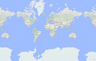
    The Headway Project was born out of a frustration with the need to send current and future location data to a corporation in order to figure out how we’re getting from A to B. Offline-only maps apps can be frustrating to use, and sometimes suffer from performance problems, poor...
    Cost / License

    Application type

    Since

    • Since 2022

    Platforms

    • Online
    • Self-Hosted
    maps.earth screenshot 1
    60 alternatives
  8. Wanderu icon
     2 likes

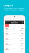
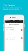
    Wanderu is the simplest way to find and book bus and train travel across North America and Europe. Now you can book the best deals on the go with the official Wanderu app, featured as "Best New App" by the iTunes App Store and Google Play.

    Cost / License

    • Free
    • Proprietary

    Application type

    Since

    • Since 2017

    Platforms

    • Online
    • Android
    • iPhone
    • iPad
    • US flagUnited States
    Wanderu screenshot 1
    Wanderu screenshot 2
    Wanderu screenshot 3
    20 alternatives
  9. OffRoad OSM icon
     3 likes

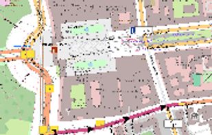
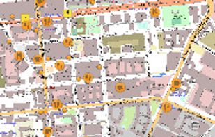
    Offline map viewer for PC offering vector-based OpenStreetMap navigation, GPX track management, elevation data, contour lines, and customizable layers.

    Cost / License

    • Free
    • Open Source

    Since

    • Since 2016

    Alerts

    • Discontinued

    Platforms

    • Linux
    • DE flagGermany
    • European Union flagEU
    OffRoad OSM screenshot 1
    OffRoad OSM screenshot 1
    20 alternatives
  10. OpenCPN icon
     4 likes

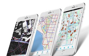
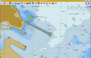
    OpenCPN is a free software (GPLv2) project to create a concise chart plotter and navigation software, for use underway or as a planning tool.
    Cost / License

    • Free
    • Open Source

    Application type

    Since

    • Since 2016

    Platforms

    • Windows
    • Mac
    • Linux
    OpenCPN screenshot 1
    8 alternatives
  11. Basetrip icon
     8 likes

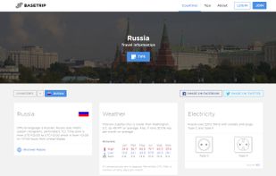
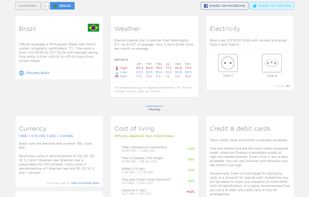
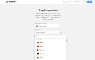
    Basetrip gives you all the travel information about any country in the world. It includes information about time zones, weather, electricity sockets, currencies, exchange rates, costs of living, internet speeds, mobile data prices, health, vaccinations, road rules, embassies...

    Cost / License

    • Free
    • Proprietary

    Application type

    Since

    • Since 2016

    Platforms

    • Online
    • HR flagCroatia
    • European Union flagEU
    Basetrip screenshot 1
    Basetrip screenshot 1
    Basetrip screenshot 2
    20 alternatives
  12. GIS Cloud icon
     3 likes

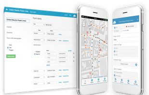
    GIS Cloud is a complete Online Mapping Solution for:
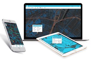
    • Field Data Collection
    • Data and Team Management
    • Map Editing and Sharing.

    Cost / License

    • Paid
    • Proprietary

    Application type

    Since

    • Since 2019

    Platforms

    • Online
    • Software as a Service (SaaS)
    GIS Cloud screenshot 1
    GIS Cloud screenshot 1
    GIS Cloud screenshot 2
    +1
    GIS Cloud screenshot 3
    20 alternatives
  13. Flitsmeister icon
     1 like

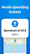
    Flitsmeister is an app that helps you avoid fines, roadworks, traffic jams and accidents while driving. It warns you of speed cameras, speed enforcement zones, roadworks, delays and dangerous situations on the road.

    Cost / License

    • Freemium
    • Proprietary

    Application type

    Since

    • Since 2024

    Platforms

    • Android
    • iPhone
    • NL flagNetherlands
    • European Union flagEU
    Flitsmeister screenshot 1
    Flitsmeister screenshot 2
    Flitsmeister screenshot 3
    8 alternatives
  14. µlogger icon
     5 likes

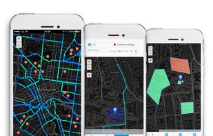
    µlogger [micro-logger] is an android application for continuous logging of location coordinates, designed to record hiking, biking tracks and other outdoor activities. This app works with a self-hosted server.

    Cost / License

    Since

    • Since 2018

    Platforms

    • Android
    25 alternatives
  15. CADMAPPER icon
     1 like

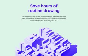
    CADMAPPER turns public data from sources such as OpenStreetMap, NASA and USGS into neatly organized, layered CAD files. Define any area with the online tool, then edit the drawing in AutoCAD, SketchUp, Rhino or Adobe Illustrator.

    Cost / License

    • Freemium
    • Proprietary

    Application type

    Since

    • New

    Platforms

    • Online
    • US flagUnited States
    CADMAPPER screenshot 1
    CADMAPPER screenshot 1
    2 alternatives
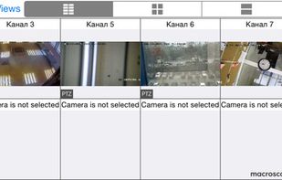
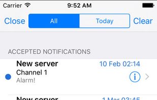
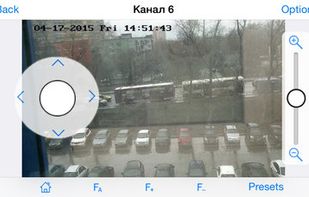
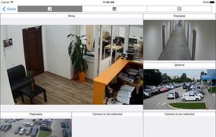
  16. Macroscop is a global provider of an open platform video management software with the strong intelligence of video analytics added. Macroscop allows building scalable systems with an unlimited number of IP cameras, servers, and workstations.

    Cost / License

    • Freemium
    • Proprietary

    Since

    • Since 2016

    Platforms

    • Windows
    • Chrome OS
    • Online
    • Android
    • iPhone
    • iPad
    • Android Tablet
    • Windows Phone
    • Windows Mobile
    • US flagUnited States
    Macroscop Professional IP Camera Software screenshot 1
    Macroscop Professional IP Camera Software 
macroscop.com/en
    Macroscop Professional IP Camera Software screenshot 2
    +20
    Macroscop Professional IP Camera Software 
macroscop.com/en
    28 alternatives
  17. Find your adventurous spirit, get off the beaten path and discover unique places to experience near and far, all contributed by Atlas Obscura’s global community of explorers.

    Cost / License

    • Free
    • Proprietary

    Application type

    Since

    • Since 2021

    Platforms

    • Online
    • iPhone
    • US flagUnited States
    Atlas Obscura screenshot 1
    Atlas Obscura screenshot 1
    Atlas Obscura screenshot 2
    +3
    Atlas Obscura screenshot 3
    19 alternatives
  18. Mantle Place icon
     1 like

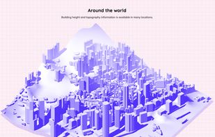
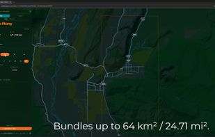
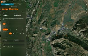
    Draw any area on Earth and get it back as a site you keep: elevation, imagery, vectors, and lots more, ready for the tools you already use. Free up to 2 km² / 0.77 mi².

    Cost / License

    • Freemium
    • Proprietary

    Application type

    Since

    • New

    Platforms

    • Online
    • Software as a Service (SaaS)
    • US flagUnited States
    Draw any area on a 3D globe and watch the price update as you draw. Bundles up to 64 km² / 24.71 mi².
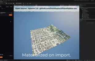
    Native import into Unreal Engine: terrain, imagery, buildings, and lots more land as editable assets.
    Areas up to 2 km² / 0.77 mi² are free at full quality.
    +1
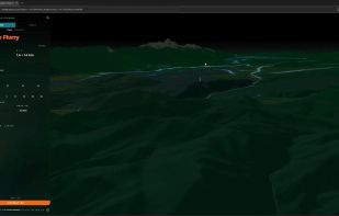
    Satellite view: place an area anywhere on Earth and see its price before you buy.
    3 alternatives
  19. GpsPrune icon
     7 likes

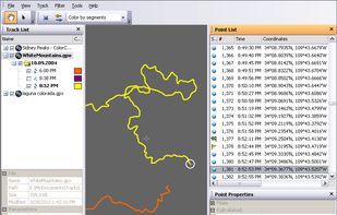
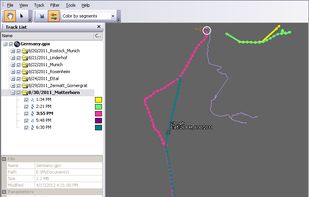
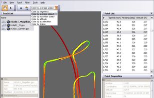
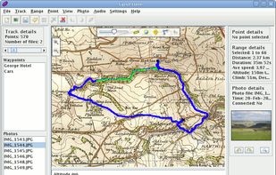
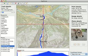
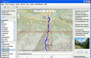
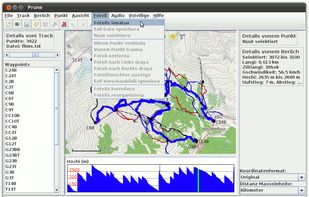
    GpsPrune is an application for viewing, editing and converting coordinate data from GPS systems. Basically it's a tool to let you play with your GPS data after you get home from your trip.

    Cost / License

    • Free
    • Open Source

    Since

    • Since 2015

    Platforms

    • Windows
    • Mac
    • Linux
    • OpenJDK
    • DE flagGermany
    • European Union flagEU
    GpsPrune screenshot 1
    GpsPrune screenshot 1
    GpsPrune screenshot 2
    +8
    GpsPrune screenshot 3
    19 alternatives
  20. MapTiler icon
     7 likes

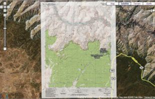
    MapTiler is graphical application for online map publishing. Your map can create overlay of standard maps like Google Maps, Yahoo Maps, Microsoft VirtualEarth or OpenStreetMap and can be also visualized in 3D form by Google Earth.
    Cost / License

    • Free
    • Proprietary

    Application type

    Since

    • Since 2012

    Platforms

    • Windows
    • Mac
    • Linux
    • Online
    Overlay of Google Maps Google Earth embedded in browser
    8 alternatives
  21. Agoda icon
     3 likes

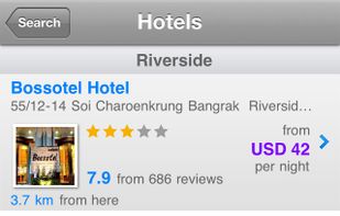
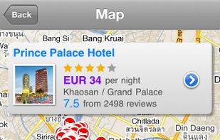
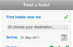
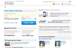
    Agoda is a mobile app for hotel bookings, providing access to over 160,000 hotels worldwide. It has over 2.6 million users and offers features like local hotel searches, budget and style filters, and interactive maps for directions.

    Cost / License

    • Free
    • Proprietary

    Application type

    Since

    • Since 2012

    Platforms

    • Online
    • Android
    • iPhone
    • iPad
    • Android Tablet
    • Windows Phone
    • Blackberry
    • GB flagUnited Kingdom
    Agoda screenshot 1
    Agoda screenshot 1
    Agoda screenshot 2
    +1
    Agoda screenshot 3
    47 alternatives