





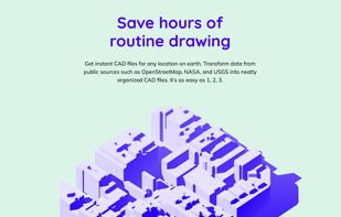
CADMAPPER turns public data from sources such as OpenStreetMap, NASA and USGS into neatly organized, layered CAD files. Define any area with the online tool, then edit the drawing in AutoCAD, SketchUp, Rhino or Adobe Illustrator.
Cost / License
- Freemium
- Proprietary
Application type
Platforms
- Online
 United States







 United Kingdom


