A location intelligence and visualization engine that empowers you to effortlessly transform data into insights. With CartoDB, connect and map location data, quickly customize your visualizations, and develop powerful location based apps.
Spatial Feature Server Alternatives
Spatial Feature Server is described as 'By MapET is an ESRI Geoservices REST Implementation and works with all ESRI Rest API's. The source of published data is the spatial extension of the major RDBMS, such Oracle, Microsoft SQLServer, MySQL, PostgreSQL' and is a GIS software in the travel & location category. There are more than 25 alternatives to Spatial Feature Server for a variety of platforms, including Windows, Web-based, Linux, Mac and Android apps. The best Spatial Feature Server alternative is QGIS, which is both free and Open Source. Other great apps like Spatial Feature Server are what3words, ArcGIS, Plus Codes and Maptitude.
Alternatives list


MapWindow is a fully free and open source geographic information system project. It includes an open source programming component, MapWinGIS ActiveX, and an extensible desktop application that supports plug-ins written in .NET (C# and VB.NET).


gvSIG is a Geographic Information System (GIS), that is, a desktop application designed for capturing, storing, handling, analyzing and deploying any kind of referenced geographic information in order to solve complex management and planning problems.


MapServer is an Open Source platform for publishing spatial data and interactive mapping applications to the web. Originally developed in the mid-1990’s at the University of Minnesota, MapServer is released under an MIT-style license, and runs on all major platforms (Windows...


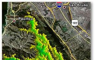
MICRODEM is a freeware microcomputer mapping program written by Professor Peter Guth of the Oceanography Department, U.S. Naval Academy. MICRODEM displays and merges digital elevation models, satellite imagery, scanned maps, vector map data, and GIS databases.

 25 MapInfo Professional alternatives
MapInfo Professional is a powerful, functionally rich desktop mapping application from Pitney Bowes MapInfo, designed to enable organisations to solve business problems that have a geographical element.

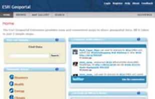
 12 ESRI Geoportal Server alternatives
Esri Geoportal Server is a free, open source product that enables discovery and use of geospatial resources including datasets, rasters, and Web services.
Cost / License
- Free
- Open Source
Platforms
- Mac
- Windows
- Linux
- Online


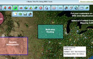
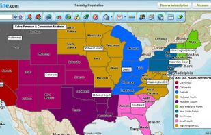
Map Business Online, America's fastest growing online mapping software, offers sales territory management, business data visualization, and multi-stop optimized routing tools for business professionals. The most affordable and powerful mapping software available today.


The GEOCONCEPT solution was designed first and foremost to respond to expectations of users who wanted to leverage the power of geographical data to the fullest.


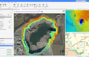
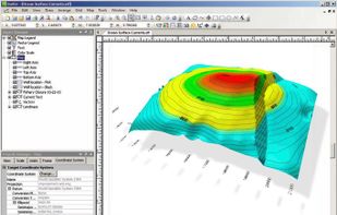
Surfer is a full-function contouring, gridding, and 3D surface mapping software. It is used extensively for terrain modeling, bathymetric modeling, landscape visualization, surface analysis, etc.
Cost / License
- Paid
- Proprietary
Platforms
- Windows


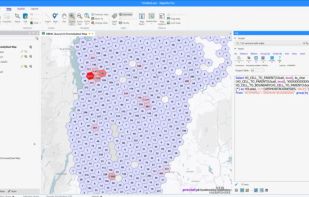
Manifold GIS is a combination of mapping, CAD, DBMS and image processing. The hallmark of GIS is the power of using a visual interface to view, grab, analyze, manipulate and transform data that would not be comprehensible in classic row and column DBMS text presentations.
 +6
+6