


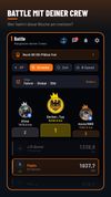
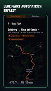
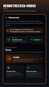
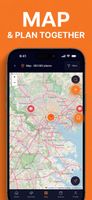
DriveBattle is the drive tracker for motorcycle and car crews. Every drive is recorded automatically - without opening the app. Compare yourself with your people, collect XP and levels, and share your best tours.


+3





One of the most popular alternatives to Organic Maps is CoMaps, which is free and open source. Other popular alternatives are OpenStreetMap, OsmAnd, Google Maps and Vela Maps. Map Services like Organic Maps are a crowded field, with more than 50 alternatives for Android, the web, iPhone, iPad and Windows.
DriveBattle is the drive tracker for motorcycle and car crews. Every drive is recorded automatically - without opening the app. Compare yourself with your people, collect XP and levels, and share your best tours.
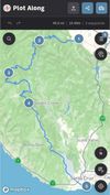
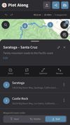
Want to plan a road trip with your friends? Plot Along provides a modern collaborative route planning experience on any device.
 United States

Discover camping destinations within your drive radius with weather-intelligent filtering for vanlifers, overlanders, and road travelers.

A free, open-source app that routes you like Google Maps, but through shade. Real-time 3D shadows, sun/shade parking, air quality, a winter sun mode and a heat-safety mini-game.
 Spain
 EU
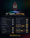
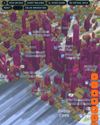


Provides precise turn-by-turn navigation with voice and visual guidance, live traffic updates, offline maps, multiple route options, point-of-interest search, global coverage, tailored modes for driving, walking, and cycling, plus integration with smart devices for seamless travel.
United States
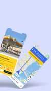



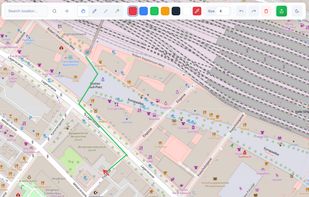
The problem with sending a screenshot of a map is that it is just a flat image. If the other person doesn't recognise the street, they are stuck. Draw On A Map fixes this by sharing a real map so people can figure out where they are now.
 Switzerland


CityGuide is a next-generation offline GPS navigator that offers maps from various vendors, including OSM (OpenStreetMap), HERE (NOKIA) maps, CityGuide maps, and other high-quality maps from national producers.
 Russia
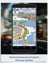
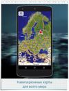
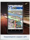

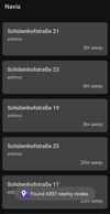
Navia is a navigation aid designed for blind and low-vision users. Explore the map by touch: slide a finger over the screen and hear the streets and places under it, with their distance from you. While you walk, Navia announces nearby places, and you can aim at a place to hear...
 GermanyEU
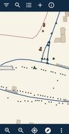
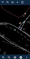

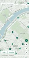
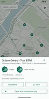
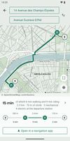
Offline Android app for shared-bike maps and walk–bike–walk journey planning across hundreds of GBFS networks. It downloads maps, routing and address data per city, checks live bikes and docks when connected, supports multiple cities, and runs without tracking.
 FranceEU


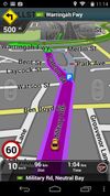
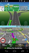
A complete Turn-By-Turn GPS Navigation solution with Australia and New Zealand's most comprehensive SpeedAlert including school zones - save your license!.
 Australia

A food and spot app that organizes your favorites into a nearby radar, visual Spaces, and features an embedded AI assistant named T.R.A.V.I.S.
United States




 Liechtenstein


