Free Mapline Alternatives

The best free alternative to Mapline is OpenStreetMap, which is also Open Source. If that doesn't suit you, our users have ranked more than 100 alternatives to Mapline and loads of them is free so hopefully you can find a suitable replacement. Other interesting free alternatives to Mapline are Google Earth, Google Maps, OpenFreeMap and QGIS.

Copy a direct link to this comment to your clipboard
Mapline alternatives page was last updated

Alternatives list

  1. Maptitude icon
     23 likes
    Copy a direct link to this comment to your clipboard

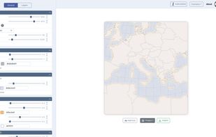
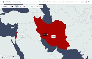
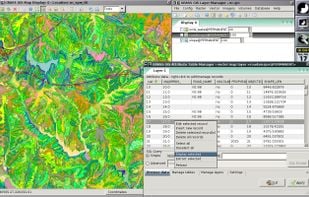
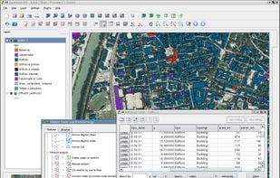
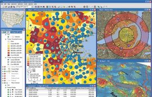
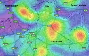
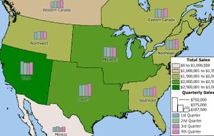
    Business mapping software (geographic information system) that delivers affordable, easy-to-use, professional mapping tools for mapping in these sectors: franchising, health care, business, territories, site selection, sales, marketing, banking, more.

    33 Maptitude alternatives

    Cost / License

    • Freemium (Pay once or Subscription)
    • Proprietary

    Application types

    Platforms

    • Windows
    • Online
    • Software as a Service (SaaS)
     
  2. what3words icon
     3 likes
    Copy a direct link to this comment to your clipboard

    What3words encodes geographic coordinates into 3 dictionary words (for example, the Statue of Liberty is located at planet.inches.most). what3words is different from other alphanumeric location systems and GPS coordinates in that it displays 3 words rather than long strings of...

    39 what3words alternatives

    Cost / License

    • Freemium (Subscription)
    • Proprietary

    Platforms

    • Online
    • Android
    • iPhone
    • Android Tablet
    • iPad
    • Apple Watch
     
  3. Felt icon
     3 likes
    Copy a direct link to this comment to your clipboard

    Felt lets you create maps collaboratively, using world-class data, and share them in a single click. For team projects or epic adventure with friends.

    54 Felt alternatives

    Cost / License

    • Free
    • Proprietary

    Application type

    Platforms

    • Online
     
  4. OruxMaps icon
     24 likes
    Copy a direct link to this comment to your clipboard

    OruxMaps is an online/offline map viewer and track logger for Android. You can use OruxMaps for your outdoor activities (running, trekking, mountain bike, paragliding, flying, nautic sports, etc.)

    Features:

    Online map viewer The tiles used online can be cached, and can be used.

    99 OruxMaps alternatives

    Cost / License

    • Free
    • Proprietary

    Platforms

    • Android
     
  5. CartoSVG icon
     1 like
    Copy a direct link to this comment to your clipboard

    Design gorgeous and lightweight SVG maps with ease.

    Cost / License

    • Free
    • Open Source

    Platforms

    • Online
    • Self-Hosted
     
  6. Map Chart icon
     1 like
    Copy a direct link to this comment to your clipboard

    Create your own free custom Map of World, Europe, Asia, United States and others in 3 easy steps. Download it for free and use it for a great visual representation.

    16 Map Chart alternatives

    Cost / License

    • Freemium (Pay once or Subscription)
    • Proprietary

    Application type

    Platforms

    • Online
     
  7. SAS.Planet icon
     8 likes
    Copy a direct link to this comment to your clipboard

    This program allows work with any maps service if you can describe getting picture by longitude/latitude(if you want you can write config file or simplepascal script to describe how obtain needle photos).

    32 SAS.Planet alternatives

    Cost / License

    • Free
    • Proprietary

    Application type

    Platforms

    • Windows
     
  8. PaintMyMap icon
     1 like
    Copy a direct link to this comment to your clipboard

    A free online tool to create and customize maps. You can paint countries with colors, patterns, or textures, place shapes and SVGs, edit map structures, and even load your own data.

    Cost / License

    • Free
    • Proprietary

    Application type

    Platforms

    • Online
     
  9. GRASS GIS icon
     26 likes
    Copy a direct link to this comment to your clipboard

    GRASS GIS (Geographic Resources Analysis Support System) is an open source, free software (FOSS) Geographical Information System (GIS) with raster, topological, vector, image processing, and visualization functionality.

    37 GRASS GIS alternatives

    Cost / License

    • Free
    • Open Source

    Application types

    Platforms

    • Mac
    • Windows
    • Linux
     
  10. MapSCII icon
     1 like
    Copy a direct link to this comment to your clipboard

    MapSCII is a mapping tool that enables users to explore geographic locations in a text-based format. It was specifically designed for visually impaired individuals who may have difficulty accessing and navigating traditional graphical maps.

    Cost / License

    • Free
    • Open Source

    Platforms

    • Linux
    • Mac
    • Windows
    • Snapcraft
     
  11. TransforMap icon
     12 likes
    Copy a direct link to this comment to your clipboard

    TransforMap works towards an online platform for you to visualize the myriads of alternatives to the dominant economic thinking on a single mapping system.

    Cost / License

    • Free
    • Open Source

    Application type

    Platforms

    • Online
     
  12. GMap.NET icon
     11 likes
    Copy a direct link to this comment to your clipboard

    GMap.NET is great and Powerful, Free, cross platform, open source .NET control. Enable use routing, geocoding, directions and maps from Google, Yahoo!, Bing, OpenStreetMap, ArcGIS, Pergo, SigPac, Yandex, Mapy.cz, Maps.lt, iKarte.

    43 GMap.NET alternatives

    Cost / License

    • Free
    • Open Source

    Alerts

    • Discontinued

    Platforms

    • Windows
    • Windows Mobile
     
You are at page 3 of Mapline alternatives