
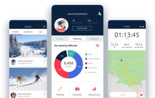
Get real time information on more than 2000 resorts, book any one of more than a million options for ski accommodation, ski passes and lots of other services.
- Freemium • Proprietary
- Android
- iPhone
Best alternatives are  OsmAndand
 onX Backcountry
11 alternativesOsmAndandonX Backcountry