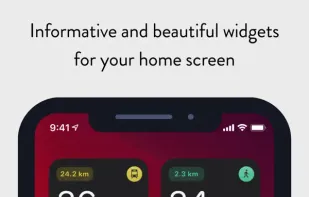
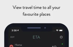
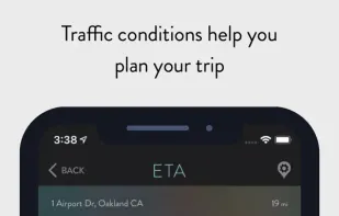
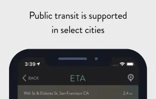
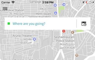
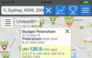
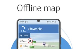
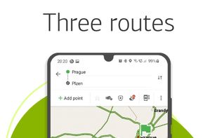
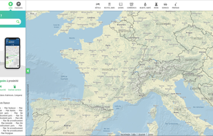
Free French mapping and itinerary service with address search, route comparison, real-time traffic, public transit, and distance calculations for any location.
Cost / License
- Free
- Proprietary
Application types
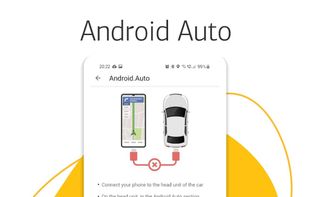
Platforms
- Online
- Android
- iPhone
Best alternatives are  OpenStreetMapand
 Google Maps
93 alternatives