
 Australia





Best alternatives are 

26 alternatives


Mobile editing tool for OpenStreetMap adds shops, amenities, and POI. Supports offline use, micro-mapping, and user-contributed map updates.



 StreetCompleteand
 JOSM
JOSM
Vespucci is the first OpenStreetMap editor for Android. That means: It is a light-weight, easy-to-use mapping tool on mobile Android devices.
 StreetCompleteandJOSM
MapLibre GL is a community-led fork derived from mapbox-gl-js before their switch to a non-OSS license.


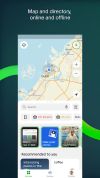
2GIS provides 3D-maps of 180+ cities, contacts of 1.5 million companies, car routing and public transport routes and and more! 2GIS is a complete and up-to-date directory of organizations with detailed cities’ maps.


 OpenStreetMapand
 StreetCompleteandJOSM
Digital menus for hospitality venues with QR code access, translations into 12 languages, 14 EU allergen labels, filterable dietary tags, and printable synchronized PDF menus.




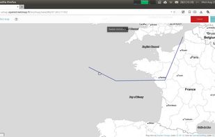
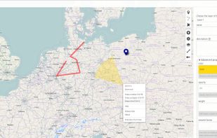
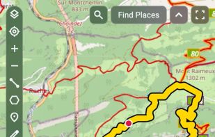
uMap let you create maps with OpenStreetMap layers in a minute and embed them in your site. Add custom annotations, lines, shapes, import and add custom layers (KML, CSV, GPS, ...) and other data.
 StreetComplete
Öffi is an Android app that tells you where and when trains and buses go, including delays and replacement bus services for more and more transport authorities in Europe and worldwide.




 OsmAnd
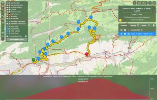
Free browser tool to draw, view and edit GPX, KML, KMZ or GeoJSON with routing, elevation profiles, custom map styles, and Strava integration for planning routes.
 uMapand
 gpx.studio
Uber is Everyone's Private Driver. Use the Uber app to request a private car in any city the service is available. The app lets your driver know precisely where to pick you up, and lets you know exactly how long until they arrive.




Compares hundreds of travel sites for flights, hotels, and car rentals, provides direct booking access, itinerary management tools, and price alerts.




 StreetCompleteandJOSM
Streets GL is a real-time 3D map renderer built for visualizing OpenStreetMap data with a heavy focus on eye-candy features.



 OpenStreetMapand
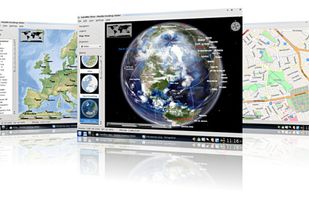
Marble is a Virtual Globe and World Atlas that you can use to learn more about Earth: You can pan and zoom around and you can look up places and roads. A mouse click on a place label will provide the respective Wikipedia article.
 CoMapsand
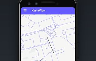
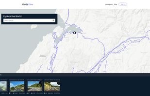
KartaView is a free and open platform for street level imagery. Anyone can contribute images with a smartphone and the open source apps.



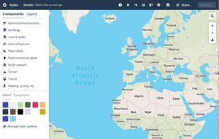
Create personalized maps using Open Street Map data and integrate them seamlessly into web and mobile applications with advanced styling tools.

Identify bird sounds in real time with this Android version of BirdNET. Bird sound recognition for more than 6,000 species worldwide.





A trip planner that lets you share your travel itinerary with family and friends, receive flight alerts, store documents, sync everything with your calendar, and have wish lists of places to visit.


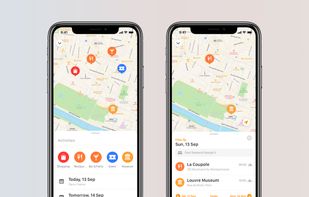

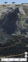
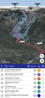
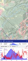
Ascend Maps is an open-source and privacy-friendly application for maps and GPS featuring 3D terrain, offline search, track recording and editing, advanced overlays such as slope angle shading and aspect shading, and more.
 CoMapsand
 Organic Maps
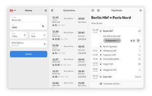
Railway lets you look up travel information across networks and borders without having to navigate through different websites. Due to the adaptive design, it is suitable to plan your trip in advance or mobile on the go:

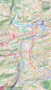
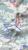
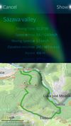
Goal of this project is to bring offline maps and navigation to Sailfish OS with native look and feel. OSM Scout for Sailfish OS is based on OSM Scout library.
 CoMapsandOpenStreetMap
Combine the power of AI with comprehensive organizational tools. Imagine simply uploading screenshots or PDFs of your booking confirmations – flights, hotels, reservations – and watching as our advanced AI instantly crafts a detailed, personalized travel schedule for you.

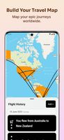


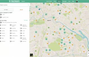
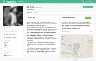
Travellers community for sharing, hosting and getting people together. We want a world that encourages trust and adventure.



 Estonia
 EU
EU


 Germany


 United Arab Emirates


 United States
 Italy
Italy


 France


 Switzerland


 Singapore





 Czechia


 United Kingdom


