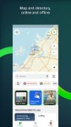
2GIS provides 3D-maps of 180+ cities, contacts of 1.5 million companies, car routing and public transport routes and and more! 2GIS is a complete and up-to-date directory of organizations with detailed cities’ maps.
 Russia



+5



The best GPS Navigation alternative to Waze is CoMaps, which is both free and Open Source. If that doesn't suit you, our users have ranked more than 50 alternatives to Waze and loads of them are GPS Navigation Services so hopefully you can find a suitable replacement. Other interesting GPS Navigation Service alternatives to Waze are Organic Maps, OsmAnd, Google Maps and Vela Maps.
2GIS provides 3D-maps of 180+ cities, contacts of 1.5 million companies, car routing and public transport routes and and more! 2GIS is a complete and up-to-date directory of organizations with detailed cities’ maps.
Russia
Offline TomTom 3D maps, turn-by-turn voice navigation, frequent free updates, live traffic, speed camera alerts, HUD projection, safety warnings, parking tips, fuel prices, junction views, pedestrian routes, audio integration, dashcam, and extensive POI support.
 Slovakia
 EU





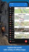
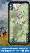
Create, plan, edit, record, save or share your trips, keep the memories, track your performance, and much more. Locus Map is designed for hiking, mountain biking, cycling, running, geocaching, cross-country skiing, and other outdoor activities.
 CzechiaEU



GPS software offering real-time traffic data, customizable navigation for cars and trucks, offline maps, speed alerts, lane guidance, and Apple CarPlay. Supports smart journeys and truck-specific needs like rest-stop finding and dangerous cargo inputs.
 NetherlandsEU





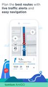
This is your fastest way around live traffic, speed cameras, and road hazards and right to wherever you are going. Boost your day-to-day navigation with your intelligent driving companion.
NetherlandsEU



GPS navigation with offline, voice-guided routing for cars, trucks, HGVs, and caravans, providing real-time traffic, truck restriction avoidance, trip planning based on vehicle type, lane indicators, and a database of millions of preloaded places after free trial.
 United States

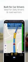



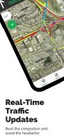
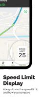
Features voice-guided GPS navigation, live vector maps, up-to-date satellite imagery, real-time traffic with automatic reroutes, route alternatives, cost comparisons, transit support, POI search, hotel and food booking, gas price checking, weather, and roadside assistance.
United States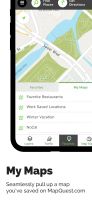


Web-based platform for trip planning offering live traffic info, multiple route options, device syncing, integration with mobile navigation, commute delay monitoring, map interactivity, vehicle type support, route optimization, experimental features, and secure account settings.
NetherlandsEU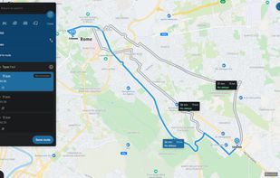


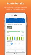
INRIX Traffic personalizes routes to avoid the worst traffic, recommends trips and departure times, and provides automatic, intelligent alerts to keep users aware of changing road conditions.
United States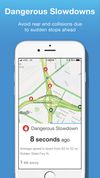



Goal of this project is to bring offline maps and navigation to Sailfish OS with native look and feel. OSM Scout for Sailfish OS is based on OSM Scout library.
CzechiaEU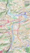
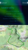


Comprehensive journey planning with global maps, real-time traffic updates, fuel prices, cost calculations, service station locations, GPS navigation, parking, electric charging, 3D maps, up to 15 stops per route, points of interest, and detailed amenities.
 FranceEU
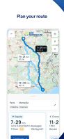

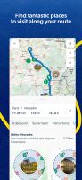


Flitsmeister is an app that helps you avoid fines, roadworks, traffic jams and accidents while driving. It warns you of speed cameras, speed enforcement zones, roadworks, delays and dangerous situations on the road.
NetherlandsEU