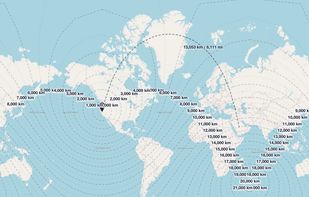
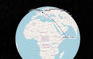
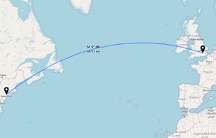
GeoUtil.com is a free, browser-based map and geography toolkit. Measure distances and areas, convert coordinates, optimize GeoJSON/TopoJSON, and visualize spatial data — all quickly, accurately, and without installing any software.


QGIS is described as 'A fully featured, user friendly, open source Geographic Information System (GIS) with similar power to ArcGIS and MapInfo' and is a very popular GIS software in the travel & location category. There are more than 50 alternatives to QGIS for a variety of platforms, including Web-based, Windows, Linux, Mac and SaaS apps. The best QGIS alternative is ArcGIS. It's not free, so if you're looking for a free alternative, you could try GRASS GIS or Overpass Turbo. Other great apps like QGIS are Global Mapper, Maptitude, SAGA GIS and MapInfo Professional.
GeoUtil.com is a free, browser-based map and geography toolkit. Measure distances and areas, convert coordinates, optimize GeoJSON/TopoJSON, and visualize spatial data — all quickly, accurately, and without installing any software.


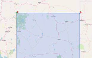
Draw a box, hit generate, and get a professional-grade DXF file for AutoCAD. Made for make ready drafters and utility permit engineers tired of hand-tracing roads.