


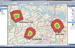
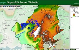
Supergeo Technologies Inc. is global leading GIS software & total solution provider. With series GIS products covering from desktop, mobile, server to developer SDK, SuperGIS has been utilized more than 100 different countries.
 United States



+2
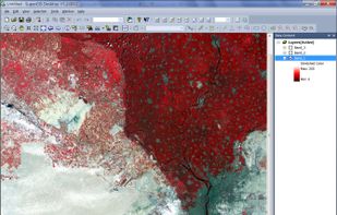





The best GIS alternative to QGIS is ArcGIS. It's not free, so if you're looking for a free alternative, you could try Overpass Turbo or GRASS GIS. If that doesn't suit you, our users have ranked more than 50 alternatives to QGIS and many of them are GIS Software so hopefully you can find a suitable replacement. Other interesting GIS Software alternatives to QGIS are Global Mapper, Maptitude, MapInfo Professional and gvSIG Desktop.
Supergeo Technologies Inc. is global leading GIS software & total solution provider. With series GIS products covering from desktop, mobile, server to developer SDK, SuperGIS has been utilized more than 100 different countries.
United States
Azimap is a web GIS developed on open source principles and offers GI professionals with the tools to visualise, analyse and share their spatial data on the web.


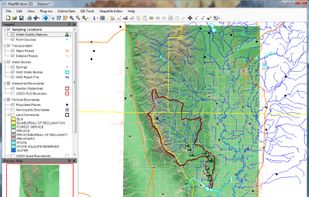
MapWindow is a fully free and open source geographic information system project. It includes an open source programming component, MapWinGIS ActiveX, and an extensible desktop application that supports plug-ins written in .NET (C# and VB.NET).


GeniusGIS is an affordable, robust, Cloud-based Small Business mapping application. Find the ideal location or territory for your business. Access a host of ready-made data sets to help unlock the true value of any geographical location.




Spatial Feature Server by MapET is an ESRI Geoservices REST Implementation and works with all ESRI Rest API's. The source of published data is the spatial extension of the major RDBMS, such Oracle, Microsoft SQLServer, MySQL, PostgreSQL.


PiinPoint helps scaling brands to make informed decisions about what markets to go to next and why. Our leading GIS analytics platform centralizes your real estate planning workflow for site selection, real estate approvals, network performance forecasting and store operations...


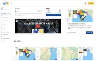
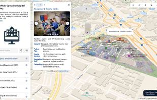
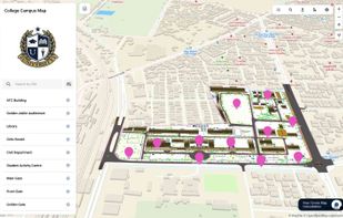
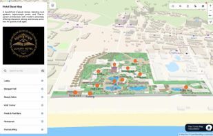
MAPOG is an AI-powered interactive mapping platform that lets users create map-based stories, add images, videos, links, and details to pins, manage tasks, collect field data, sort locations by live position, and share or embed maps.
 India


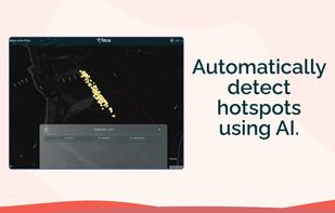
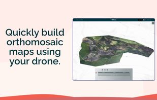
Fire AI is a software company that provides a modern, streamlined solution for wildfire intelligence. Our platform allows firefighters to create, edit, share, and store their maps in one place, making it easier to quickly understand the fire, map it with drones, and share...



 United Kingdom


