


Universal Maps Downloader is a tool that help you to get small tile images from online maps:
Cost / License
- Paid
- Proprietary
Application type
Platforms
- Windows


Sites and apps similar to OpenStreetMap include CoMaps, which is free and open source. Other options are Organic Maps, Google Maps, OsmAnd and Google Earth. You're spoiled for choice with Map Services like OpenStreetMap: we list more than 100 alternatives for Android, iPhone, iPad, Windows and Mac.
Universal Maps Downloader is a tool that help you to get small tile images from online maps:

 Germany
 EU
EU
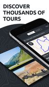
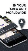


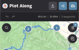
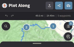
Want to plan a road trip with your friends? Plot Along provides a modern collaborative route planning experience on any device.
 United States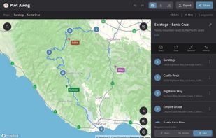


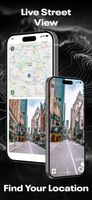
Street View – World Explorer transforms your iPhone into a window to the planet. Move from a map to real street-level imagery with a single tap, and experience places as if you’re standing right there. No complicated tools, no clutter—just pure exploration.
United States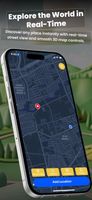
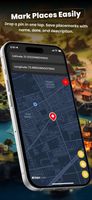
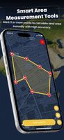


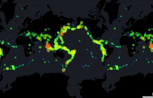
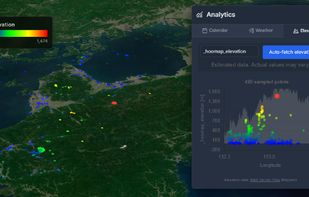
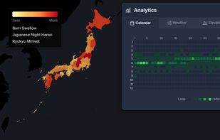
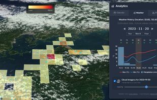
HooMap is a browser-based tool designed to transform CSV and Excel coordinate data into interactive maps in seconds. Built for researchers, students, and data enthusiasts, it allows you to visualize spatial data directly in your workflow without the need for complex GIS software...


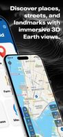
Explore the world in real-time with Live Earth Camera Earth3D. View 3D Earth maps, live street view, famous landmarks, and nearby places all in one navigation app.
United States


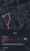
A lightweight, private, and fully customizable map app based on OpenStreetMap. Change your perspective, plan routes, explore areas in 3D, and export views without tracking.
 PolandEU

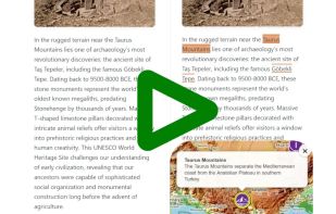
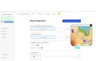
Geomapping automatically reads your articles, extracts every location mentioned, finds precise coordinates, and builds an interactive map linked to your text. Paste a single script tag to embed the map and keep readers engaged without extra coding.
 NetherlandsEU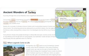


The problem with sending a screenshot of a map is that it is just a flat image. If the other person doesn't recognise the street, they are stuck. Draw On A Map fixes this by sharing a real map so people can figure out where they are now.
 Switzerland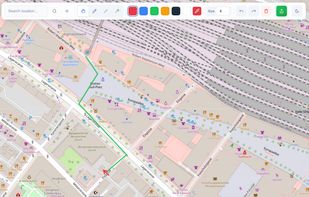





 Belgium


