OpenStreetMap based POI search tool (supports multiple criteria), POI download, search project reuse, etc. Can be used in market analysis and area research.
OpenStreetMap Alternatives
OpenStreetMap is described as 'Project aimed squarely at creating and providing free geographic data such as street maps to anyone who wants them. It is a free editable map of the whole world. It is made by people like you' and is a leading Map service in the travel & location category. There are more than 50 alternatives to OpenStreetMap, not only websites but also apps for a variety of platforms, including Android, iPhone, iPad and Android Tablet apps. The best OpenStreetMap alternative is CoMaps, which is both free and Open Source. Other great sites and apps similar to OpenStreetMap are Organic Maps, OsmAnd, Google Maps and Google Earth.
filter to find the best alternatives
OpenStreetMap alternatives are mainly Map Services, but if you're looking for GPS Navigation Services or Travel Guides you can filter on that. Other popular filters include Free. These are just examples - use the filter bar below to find more specific alternatives to OpenStreetMap.
Alternatives list


Loopit is a streamlined travel searching, planning, and sharing platform. On Loopit, you can find all the attractions and hidden gems that people have visited during their trip and easily plan your own adventure with the built-in itinerary builder!.

 +1
+1


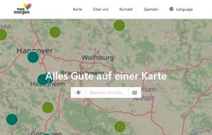
Mapping-Frontend to find and add sustainable Organisations (Initiatives, Companies) and Events on Kartevonmorgen.org / MapofTomorrow.org.

 +2
+2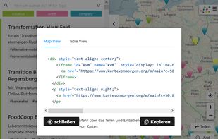

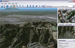
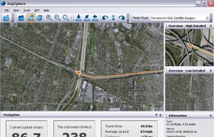
 39 MapSphere alternatives
MapSphere is a manageable way to view and organize geographical data of different kind. This might be raster maps and satellite imagery from various sources, your own information received from GPS, tracks of your friends, whatever you want.


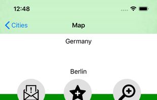
A convenient application for travelers! It includes non-interactive transit maps of different cities in the world (without any additional download of maps).
Cost / License
- Free
- Proprietary
Platforms
- Android
- iPhone
- iPad


 +7
+7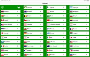


Anyplace is a first-of-a-kind GPS-less localization and navigation service working in indoor and outdoor space using ordinary smartphones. It has been developed by researchers and students at the Data Management Systems Laboratory (DMSL), Department of Computer Science and the...


Crowdsourcing account-based interactive mobile map. All places are added by people without pre-moderation. Places quality is determined by voting (like on Reddit, low rated places are hidden). Ability to see places from chosen contributors.


 +1
+1


Fast, private, and minimalist maps designed for you. Heexy Maps offers a no-tracking, privacy-first alternative for everyday navigation and exploration.


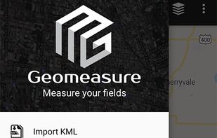
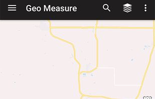
Geo measure area calculator app is major for the GPS fields and land surveying. It helps you to google maps, measurement. Check the distance between two points cities.

 +4
+4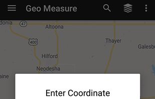


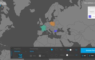
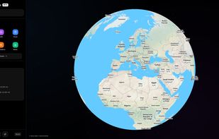
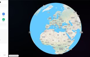
Pixel Map Generator lets you play with different projections of a map of the world. You can annotate it, colour in different countries, draw lines on it. You can also zoom in to view countries in more detail.