Visualize your local tech startup community on a custom Google Map. Host everything locally on your own server, or optionally show data from Startup Genome.
Offline Maps & Navigation Alternatives
Offline Maps & Navigation is described as 'Navigation app that combines the best of offline and online features to create the ultimate navigation experience. Compact maps of over 200 countries were specially optimized to take up less space on your phone' and is a GPS Navigation service in the travel & location category. There are more than 50 alternatives to Offline Maps & Navigation for a variety of platforms, including Web-based, Android, iPhone, iPad and Android Tablet apps. The best Offline Maps & Navigation alternative is OpenStreetMap, which is both free and Open Source. Other great apps like Offline Maps & Navigation are Google Maps, OsmAnd, Magic Earth and Waze.
Alternatives list


 38 Bing Map API alternatives
Resources to create compelling map-based web applications. Bing Maps SDK, Bing Maps API (geocoding API).
Cost / License
- Freemium
- Proprietary
Platforms
- Online


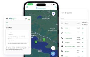
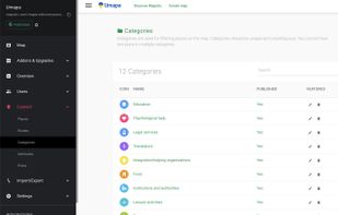
Mapotic is an innovative cloud platform that offers a wide range of map-based products and services to organizations globally, enabling them to effectively leverage the full potential of geolocation data.
Cost / License
- Freemium
- Proprietary
Application type
Platforms
- Online
- Android
- iPhone
- Android Tablet
- iPad
- Software as a Service (SaaS)


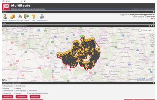
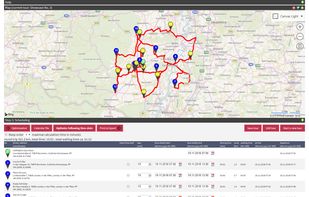
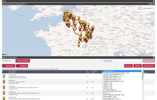
MultiRoute by gb consite GmbH is a browser based application for multiple stops route planning, route optimization, tour planning and tour optimization. For tours with up to 7 stops, MultiRoute is free and can be used even without registration.


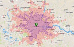
Search, filter and map locations by travel time rather than distance with this API. When added to a location search engine it can search and display results by time and create travel time maps for users. In-depth data analysis also available.
Cost / License
- Paid
- Proprietary
Platforms
- Mac
- Windows
- Linux
- Online
- iPhone
- Chrome OS
- iPad
- Apple TV

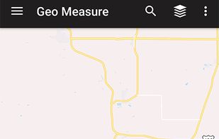
 16 Geo Measure Area Calculator alternatives
Geo measure area calculator app is major for the GPS fields and land surveying. It helps you to google maps, measurement. Check the distance between two points cities.

 +4
+4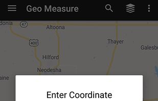

 21 QLook alternatives
When it comes to the matter of locating a place within an area or state or any country, Qlook is the first choice now days. Established in Belize, its operation covers the Asian, African, American and South-American and European markets.
Cost / License
- Free
- Proprietary
Platforms
- Online

 25 Stadia Maps alternatives
Stadia Maps provides great looking maps and geographic data services. We’re here to help you grow your business, not your bills.
Cost / License
- Freemium
- Open Source
Application types
Platforms
- Mac
- Windows
- Linux
- Online
- Android
- iPhone
- Chrome OS
- Android Tablet
- iPad


 +1
+1


OpenStreetMap based POI search tool (supports multiple criteria), POI download, search project reuse, etc. Can be used in market analysis and area research.


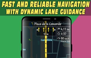
Android navigation app with high-quality offline HD maps, voice-guided turn-by-turn directions, speed and lane guidance, POI search by category, supports driving, biking and walking, automatic rerouting, itinerary planning, and multilingual interface for travelers.

 +5
+5


TallyGo provides a state-of-the-art mapping and navigation SDK that can be integrated into existing apps with virtually no development effort. Built for iOS, Android, and web.
Cost / License
- Paid
- Proprietary
Application types
Platforms
- Online
- Android
- iPhone
- Android Tablet
- iPad


Picsplore is a brand new location based social network! We want to show you what’s new and exciting around you, it could be a band playing at a dive bar, a carnival, a house party, the possibilities are truly endless.