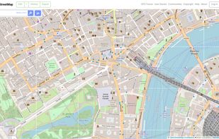
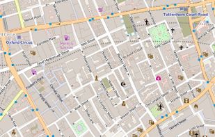
OpenStreetMap is a project aimed squarely at creating and providing free geographic data such as street maps to anyone who wants them. It is a free editable map of the whole world. It is made by people like you.


Stadia Maps is described as 'Privacy-first location infrastructure platform that provides fast, reliable map, routing, and geocoding APIs for modern applications and AI systems. It's built for teams that need global performance, transparent pricing, and human support without tracking' and is a Map service in the travel & location category. There are more than 25 alternatives to Stadia Maps for a variety of platforms, including Web-based, Android, iPhone, Mac and Self-Hosted apps. The best Stadia Maps alternative is OpenStreetMap, which is both free and Open Source. Other great apps like Stadia Maps are Google Maps, OpenFreeMap, Apple Maps and GMaps WV.
OpenStreetMap is a project aimed squarely at creating and providing free geographic data such as street maps to anyone who wants them. It is a free editable map of the whole world. It is made by people like you.


Explore the world with Google Maps using real-time traffic data, turn-by-turn navigation, panoramic street views, and comprehensive route planning for cycling, hiking, and public transport across various platforms, available offline with voice-guided alerts.


This software provides free, customizable map hosting from OpenStreetMap for apps and websites, with a completely open-source platform, no usage limits, registration, or user databases required. Supports self-hosting and public instance use with frequent planet data downloads.


Navigate with voice-guidance and real-time transit data. Enjoy detailed traffic updates, 3D city exploration with Look Around and Flyover, and access indoor maps of public places, syncing across devices, and using CarPlay. Rated places with guides support seamless city exploration.


Privacy-focused WebView tool for accessing the Google Maps web interface, enforcing HTTPS, blocking trackers, clearing private data on close, supporting toggleable location access, offering step-by-step directions but no real-time navigation, and not clearing cache automatically.
Leaflet is a modern open-source JavaScript library for mobile-friendly interactive maps. It is developed by Vladimir Agafonkin with a team of dedicated contributors. Weighing just about 28 KB of JS code, it has all the features most developers ever need for online maps.


Yandex.Maps gives you access to maps of over 1800 cities and towns right in your pocket. Find addresses and companies. Plan your journeys in a car or on public transport taking current traffic conditions into account.


uMap let you create maps with OpenStreetMap layers in a minute and embed them in your site. Add custom annotations, lines, shapes, import and add custom layers (KML, CSV, GPS, ...) and other data.


Design personalized maps with extensive Open Street Map data, integrating them into web and mobile platforms. Utilize styling tools for custom aesthetics, support real-time data overlays, 3D terrain, geospatial analytics, and encourage collaboration for comprehensive mapping solutions.


VersaTiles is a fully open-source stack for generating, distributing, and using map tiles from OpenStreetMap data, eliminating the need for combining multiple tools. Featuring a four-step, customizable process chain, it allows flexible integration of different tile sources, servers, and frontends.


Radar is a location platform for mobile apps, helping to collect, analyze, and act on location data.
MapTiler is graphical application for online map publishing. Your map can create overlay of standard maps like Google Maps, Yahoo Maps, Microsoft VirtualEarth or OpenStreetMap and can be also visualized in 3D form by Google Earth.