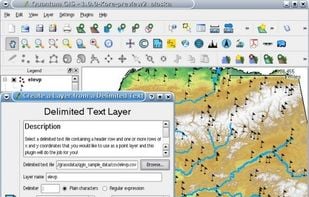
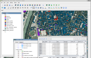
A fully featured, user friendly, open source Geographic Information System (GIS) with similar power to ArcGIS and MapInfo.
+9
Manifold is described as 'GIS is a combination of mapping, CAD, DBMS and image processing. The hallmark of GIS is the power of using a visual interface to view, grab, analyze, manipulate and transform data that would not be comprehensible in classic row and column DBMS text presentations' and is a GIS software in the travel & location category. There are more than 10 alternatives to Manifold for a variety of platforms, including Windows, Web-based, Linux, Mac and Android apps. The best Manifold alternative is QGIS, which is both free and Open Source. Other great apps like Manifold are Plus Codes, ArcGIS, Maptitude and what3words.
A fully featured, user friendly, open source Geographic Information System (GIS) with similar power to ArcGIS and MapInfo.
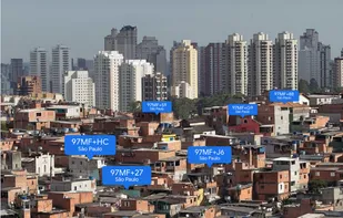
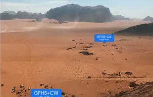
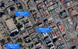
A plus code address looks like a regular address, but with a short code where the street name and number would be. These addresses exist for any location, even for places where there are no roads.
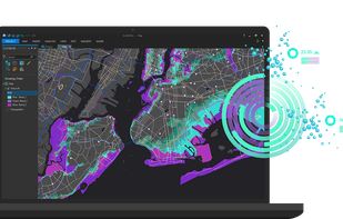
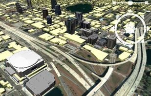
ArcGIS offers unique capabilities and flexible licensing for applying location-based analytics to your business practices.
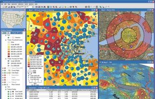
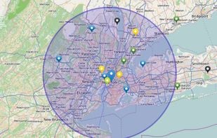
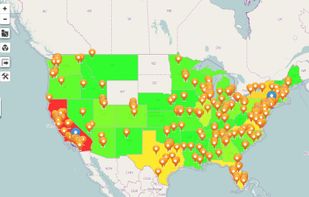
Business mapping software (geographic information system) that delivers affordable, easy-to-use, professional mapping tools for mapping in these sectors: franchising, health care, business, territories, site selection, sales, marketing, banking, more.
What3words encodes geographic coordinates into 3 dictionary words (for example, the Statue of Liberty is located at planet.inches.most). what3words is different from other alphanumeric location systems and GPS coordinates in that it displays 3 words rather than long strings of...


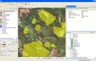
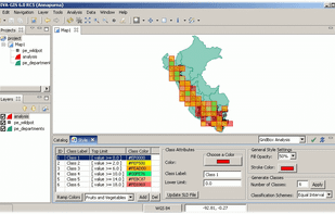
GRASS GIS (Geographic Resources Analysis Support System) is an open source, free software (FOSS) Geographical Information System (GIS) with raster, topological, vector, image processing, and visualization functionality.
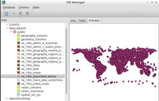
PostGIS adds support for geographic objects to the PostgreSQL object-relational database. In effect, PostGIS "spatially enables" the PostgreSQL server, allowing it to be used as a backend spatial database for geographic information systems (GIS), much like ESRIs SDE...
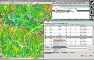
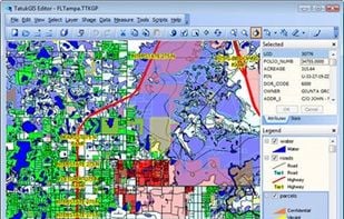
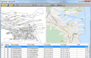
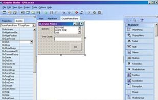
Professional desktop GIS supporting most ArcGIS (and other) data formats, enterprise spatial databases, 5,000 pre-defined coordinate systems, and built-in scripting IDE for customization and feature extensions.
SAGA - System for Automated Geoscientific Analyses - is a Geographic Information System (GIS) software with immense capabilities for geodata processing and analysis. SAGA is programmed in the object oriented C++ language and supports the implementation of new functions with a...
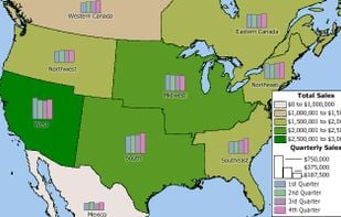
Maximize the use of your Excel spreadsheet data. Make mapping the easiest. Transform Excel data into visual analysis. We lead in data simplification and presentation. We are committed to deliver the tools needed to outpace competition.
uDig is a GIS software program produced by a community led by Canadian-based consulting company Refractions Research. It is based on the Eclipse platform and features full layered open source GIS. It is written in Java and released under GNU Lesser General Public License.
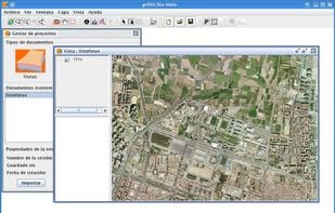
gvSIG is a Geographic Information System (GIS), that is, a desktop application designed for capturing, storing, handling, analyzing and deploying any kind of referenced geographic information in order to solve complex management and planning problems.