MapServer is an Open Source platform for publishing spatial data and interactive mapping applications to the web. Originally developed in the mid-1990’s at the University of Minnesota, MapServer is released under an MIT-style license, and runs on all major platforms (Windows...
Manifold Alternatives
Manifold is described as 'GIS is a combination of mapping, CAD, DBMS and image processing. The hallmark of GIS is the power of using a visual interface to view, grab, analyze, manipulate and transform data that would not be comprehensible in classic row and column DBMS text presentations' and is a GIS software in the travel & location category. There are more than 10 alternatives to Manifold for a variety of platforms, including Windows, Web-based, Linux, Mac and Android apps. The best Manifold alternative is QGIS, which is both free and Open Source. Other great apps like Manifold are what3words, ArcGIS, Plus Codes and Maptitude.
Alternatives list


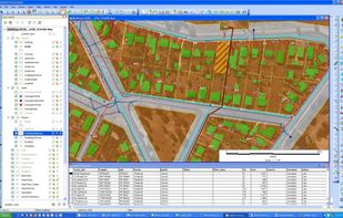
MapInfo Professional is a powerful, functionally rich desktop mapping application from Pitney Bowes MapInfo, designed to enable organisations to solve business problems that have a geographical element.


The GEOCONCEPT solution was designed first and foremost to respond to expectations of users who wanted to leverage the power of geographical data to the fullest.


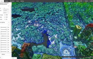
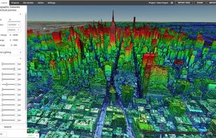
Beautiful, User Friendly online mapping software that scales to big data.
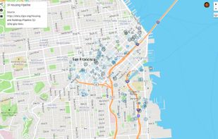
The MapLarge API enables user-driven, low latency, interactive visual exploration and analysis of very large geospatial and non-geospatial data collections to recognize patterns and identify anomalies. Use.


 43 Equator alternatives
Equator is online mapping software that allows anyone to find, create and publish maps in minutes. One globe, unlimited maps.
 +3
+3


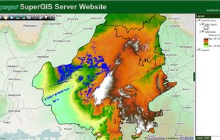
Supergeo Technologies Inc. is global leading GIS software & total solution provider. With series GIS products covering from desktop, mobile, server to developer SDK, SuperGIS has been utilized more than 100 different countries.

 +3
+3


Spatial Feature Server by MapET is an ESRI Geoservices REST Implementation and works with all ESRI Rest API's. The source of published data is the spatial extension of the major RDBMS, such Oracle, Microsoft SQLServer, MySQL, PostgreSQL.


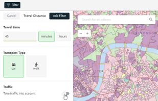
Spotzi is an easy-to-use online geomarketing platform you can try for FREE. Spotzi has a short learning curve, so you don't have to be a data scientist to work with Spotzi. Our main goal is to find your best-fit customers in just a few clicks.
Cost / License
- Freemium
- Proprietary
Application type
Platforms
- Mac
- Windows
- Linux
- Online
- Android
- iPhone
- Android Tablet
- Windows Phone
- iPad
 +1
+1


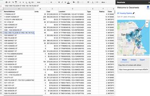
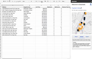
GeoSheets is a free add-on for Google Spreadsheets that makes it simple to do lightweight GIS tasks like geocoding, address normalization, distance calculations and creating customized and embeddable maps.
 +1
+1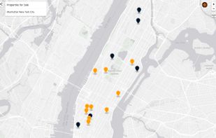


Cost / License
- Free
- Proprietary
Platforms
- Windows
- Linux


Azimap is a web GIS developed on open source principles and offers GI professionals with the tools to visualise, analyse and share their spatial data on the web.
Cost / License
- Freemium
- Proprietary
Application type
Platforms
- Linux
- Online
- Android
- iPhone
- Chrome OS
- Self-Hosted
- Software as a Service (SaaS)


