
Fast, private, and minimalist maps designed for you. Heexy Maps offers a no-tracking, privacy-first alternative for everyday navigation and exploration.
 Czechia
 EU




The best Map alternative to Google Maps is CoMaps, which is both free and Open Source. If that doesn't suit you, our users have ranked more than 100 alternatives to Google Maps and loads of them are Map Services so hopefully you can find a suitable replacement. Other interesting Map Service alternatives to Google Maps are OpenStreetMap, Organic Maps, OsmAnd and Cartes.
Fast, private, and minimalist maps designed for you. Heexy Maps offers a no-tracking, privacy-first alternative for everyday navigation and exploration.
CzechiaEU
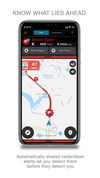
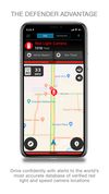
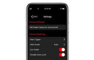
Share and receive real-time alerts from the ESCORT driving community. Gain increased awareness with millions of user-generated traffic avoidance exchanges along with red light, speed cam and law enforcement detection in real-time.
 United States



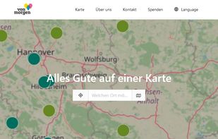
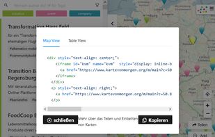
Mapping-Frontend to find and add sustainable Organisations (Initiatives, Companies) and Events on Kartevonmorgen.org / MapofTomorrow.org.
 GermanyEU




Maximize the use of your Excel spreadsheet data. Make mapping the easiest. Transform Excel data into visual analysis. We lead in data simplification and presentation. We are committed to deliver the tools needed to outpace competition.
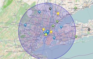
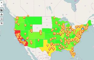


Share and receive real-time alerts from the entire network of users in the Cobra driving community. Instant red light and speed camera as well as live law enforcement detection notifications ensure you can drive smarter and safer.
United States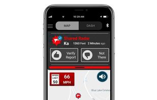



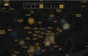
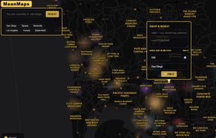
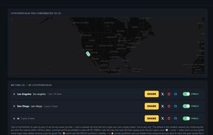
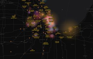
MeanMaps is a social map of the world's cities — crowdsourced, brutally honest, always in motion. Browse 🔥 roasts and reputation-labeled neighborhoods, drop 📌 pins on places you know and let other people vote them into (or out of) the truth, and catch ⚡ flash...


Want to plan a road trip with your friends? Plot Along provides a modern collaborative route planning experience on any device.
United States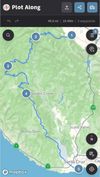



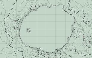
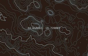
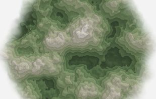
Topograph turns real elevation data into clean, customizable topographic graphics. Generate from data, upload your own sources, or search any location. Adjust contour density, styles, and color, then export as SVG, PNG, PDF, GeoJSON, DXF, or STL. Runs client-side.
United States


Discover camping destinations within your drive radius with weather-intelligent filtering for vanlifers, overlanders, and road travelers.


Universal Maps Downloader is a tool that help you to get small tile images from online maps:


Cartogram is an indoor search engine that helps you find things indoors with over 10,000 indoor maps. Navigate indoors, search malls for products, get indoor directions, and share indoor location with others. Cartogram is an atlas for indoors.
United States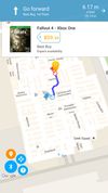






 Liechtenstein


