Google Maps Alternatives
Google Maps is described as 'Navigate efficiently with real-time traffic updates, turn-by-turn GPS, panoramic street views, and comprehensive route planning for multiple platforms' and is a leading GPS Navigation service in the travel & location category. There are more than 100 alternatives to Google Maps for a variety of platforms, including Web-based, Android, iPhone, iPad and Android Tablet apps. The best Google Maps alternative is OpenStreetMap, which is both free and Open Source. Other great apps like Google Maps are OsmAnd, CoMaps, Organic Maps and Waze.
filter to find the best alternatives
Alternatives list

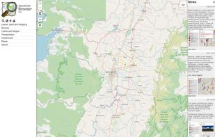
An application to ‘browse’ the information in the displayed part of the map. Similar to common Wikis and also the main page of OpenStreetMap the website shows a narrow menu on the left side, most of the page is used for the display of...


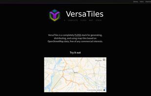
VersaTiles is a fully open-source stack for generating, distributing, and using map tiles from OpenStreetMap data, eliminating the need for combining multiple tools. Featuring a four-step, customizable process chain, it allows flexible integration of different tile sources, servers, and frontends.


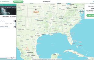
 127 Roadtrippers alternatives
Turn your road trip into an adventure. Roadtrippers is the world’s #1 road trip planning tool, with more than 25 million trips planned to date covering more than 16.9 billion miles. Whether you’re looking for an RV trip planner app or just planning your next summer road trip...
Cost / License
- Freemium
- Proprietary
Application types
Platforms
- Online
- Android
- iPhone
- Android Tablet
- iPad

 +5
+5


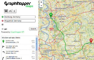
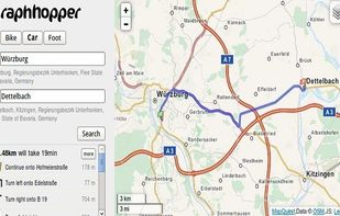
A fast driving directions API with world wide coverage. Based on open source software and OpenStreetMap. Stay independent and flexible.
Cost / License
- Freemium
- Open Source
Application types
Platforms
- Windows
- Linux
- Online
- Android
- Self-Hosted


Powering current and next-generation map products by creating reliable, easy-to-use, and interoperable open map data.


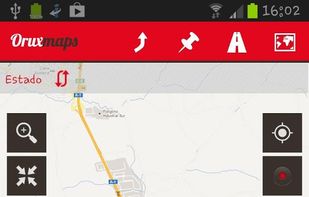
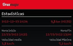
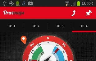
 101 OruxMaps alternatives
OruxMaps is an online/offline map viewer and track logger for Android. You can use OruxMaps for your outdoor activities (running, trekking, mountain bike, paragliding, flying, nautic sports, etc.)
Features:
Online map viewer The tiles used online can be cached, and can be used.
 +3
+3

 34 ViaMichelin alternatives
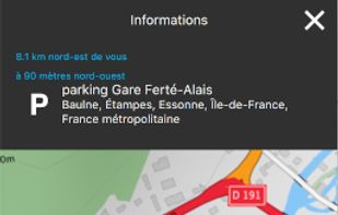
Comprehensive journey planning with global maps, real-time traffic updates, fuel prices, cost calculations, service station locations, GPS navigation, parking, electric charging, 3D maps, up to 15 stops per route, points of interest, and detailed amenities.
Cost / License
- Free
- Proprietary
Application types
Platforms
- Online
- Android
- iPhone
- Android Tablet
- iPad


 +4
+4


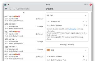
Public transport navigator that finds journeys between specified locations, and shows departures and real-time delay information.
Cost / License
- Free
- Open Source
Application types
Platforms
- Linux
- Android
- Android Tablet
- KDE
- Linux Mobile
- Flathub
- F-Droid
- Plasma Mobile


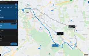
Web-based platform for trip planning offering live traffic info, multiple route options, device syncing, integration with mobile navigation, commute delay monitoring, map interactivity, vehicle type support, route optimization, experimental features, and secure account settings.


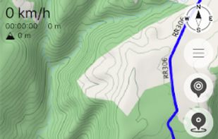
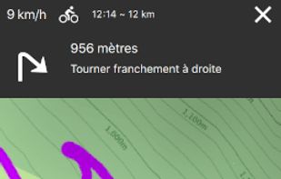
Provides GPS navigation for on-road and off-road journeys on Android and Linux, utilizing a forked libosmscout backend, with GPX reading and writing, compass, trip tracker, road routing, POI database, offline mapping, data import/export, and suitable for outdoor activities.


Cost / License
- Free
- Proprietary
Application types
Platforms
- Online
- Android
- iPhone
- iPad

 +7
+7