

Garmin Connect is a community-based website for runners, cyclists and outdoor enthusiasts who track their activities with Garmin devices. Garmin Connect makes it easy to upload, store, analyze, map and share activities online.
 Switzerland



Apps similar to DriveBattle include CoMaps, which is free and open source. Other options are OpenStreetMap, Organic Maps, Google Maps and OsmAnd. You're spoiled for choice with GPS Navigation Services like DriveBattle: we list more than 100 alternatives for Android, iPhone, iPad, the web and Linux.
Garmin Connect is a community-based website for runners, cyclists and outdoor enthusiasts who track their activities with Garmin devices. Garmin Connect makes it easy to upload, store, analyze, map and share activities online.
Switzerland
With Zood Location, your family and loved ones can continuously share their location with each other, so you can make sure everyone is safe with a quick glance at your phone. No more having to text and call each person to find out where they are, and where they are headed.





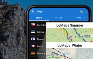
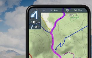
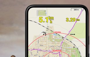
Create, plan, edit, record, save or share your trips, keep the memories, track your performance, and much more. Locus Map is designed for hiking, mountain biking, cycling, running, geocaching, cross-country skiing, and other outdoor activities.
 Czechia
 EU
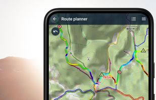


The new standard for GIS software. Simple and powerful. Step into Atlas to explore, analyze and share geospatial data.
 Norway


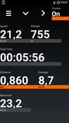
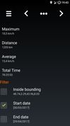
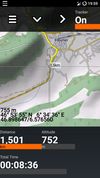
Android Activity Tracker is a GPS-tracking application for tracking sportive activities, with emphasis on cycling.


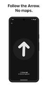
Arrow is a lightweight navigation app designed for travellers who want to explore without distractions. Instead of a map, you get a clean arrow that always points you in the right direction - no zooming, dragging, or rerouting needed.




Offline TomTom 3D maps, turn-by-turn voice navigation, frequent free updates, live traffic, speed camera alerts, HUD projection, safety warnings, parking tips, fuel prices, junction views, pedestrian routes, audio integration, dashcam, and extensive POI support.
 SlovakiaEU





Scenic is the number one Motorcycle Navigation App. It’s a genuine alternative to expensive motorcycle GPS units like the Garmin Zumo and TomTom Rider.
 United States
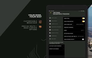
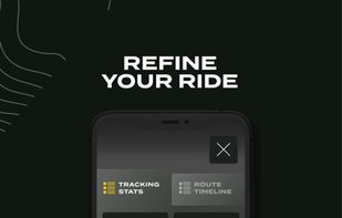

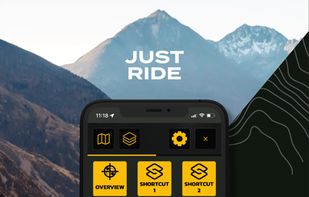


Kurviger is a motorcycle route planning and navigation app. Curvy and beautiful routes as well as mountains are favored. Cities and highways will be avoided. With Kurviger you can easily find a nice route according to your preferences, from curvy country roads to small back...
 GermanyEU

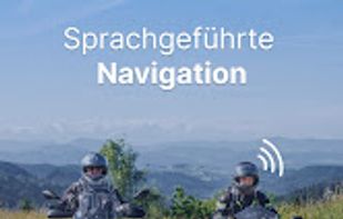

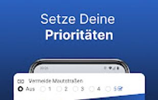


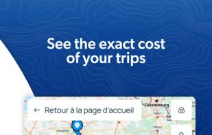
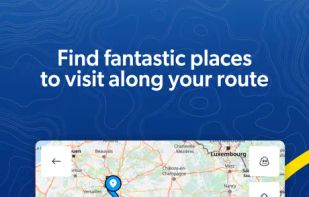
Comprehensive journey planning with global maps, real-time traffic updates, fuel prices, cost calculations, service station locations, GPS navigation, parking, electric charging, 3D maps, up to 15 stops per route, points of interest, and detailed amenities.
 FranceEU




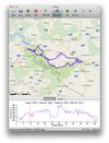
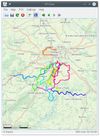
GPXSee is a Qt-based GPS log file viewer and analyzer that supports GPX, TCX, KML, FIT, IGC and NMEA files.
CzechiaEU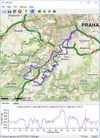


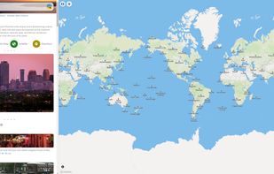
Explore the world with Mapcarta. The open map that unites the world, with the collective knowledge of OpenStreetMap, Wikipedia, Wikidata and other open projects.
United States