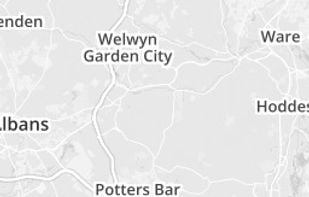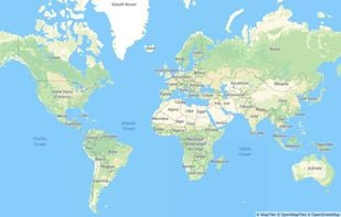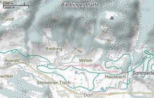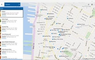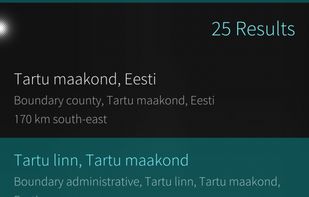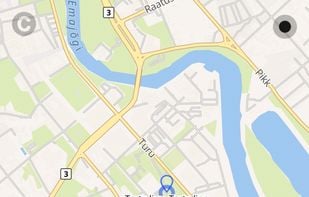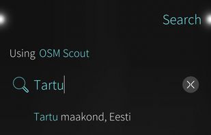

OpenMapTiles is a set of open-source tools for self-hosting of OpenStreetMap maps in more than 50 languages. It provides both raster as well as vector tiles, WMS and WMTS services for GIS programs, support for JavaScript viewers and mobile SDK.
Best alternatives are  OpenFreeMapand
 HERE WeGo
22 alternativesOpenFreeMapandHERE WeGo