

Explore Earth from space to sea with detailed satellite imagery, 3D buildings, and ad-free service. Save toured places, share them, and explore offline all points of interest around the globe.
 United States
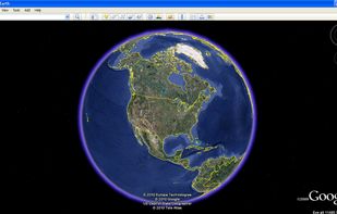

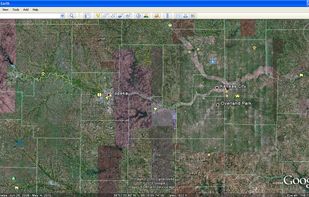

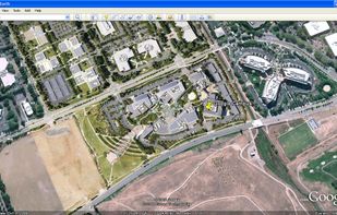


Sites and apps similar to Spectator include Google Earth, which is free for personal use. Other options are Kugelblitz, Marble, NASA World Wind and SAS.Planet. You can choose from more than 10 Map Services like Spectator for Windows, Mac, iPhone, Linux and iPad.
Explore Earth from space to sea with detailed satellite imagery, 3D buildings, and ad-free service. Save toured places, share them, and explore offline all points of interest around the globe.
United States
The Earth and its neighbors as a 3D globe and atlas for the Mac – maps and open geodata on real terrain.
 Germany
 EU
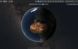
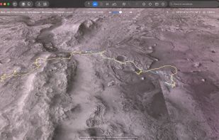
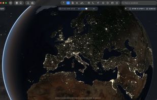
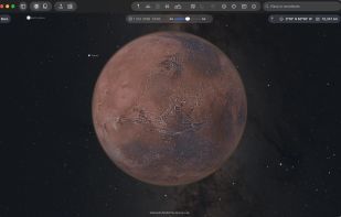


Marble is a Virtual Globe and World Atlas that you can use to learn more about Earth: You can pan and zoom around and you can look up places and roads. A mouse click on a place label will provide the respective Wikipedia article.
GermanyEU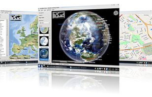


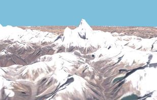
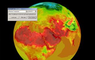
World Wind lets you zoom from satellite altitude into any place on Earth. Leveraging Landsat satellite imagery and Shuttle Radar Topography Mission data, World Wind lets you experience Earth terrain in visually rich 3D, just as if you were really there.
United States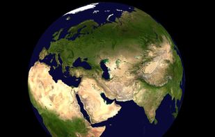


This program allows work with any maps service if you can describe getting picture by longitude/latitude(if you want you can write config file or simplepascal script to describe how obtain needle photos).
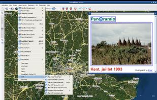


GMap.NET is great and Powerful, Free, cross platform, open source .NET control. Enable use routing, geocoding, directions and maps from Google, Yahoo!, Bing, OpenStreetMap, ArcGIS, Pergo, SigPac, Yandex, Mapy.cz, Maps.lt, iKarte.
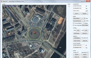
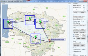

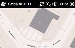


Maximize the use of your Excel spreadsheet data. Make mapping the easiest. Transform Excel data into visual analysis. We lead in data simplification and presentation. We are committed to deliver the tools needed to outpace competition.
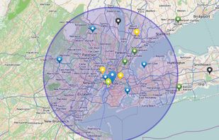
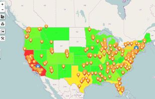


Street View – World Explorer transforms your iPhone into a window to the planet. Move from a map to real street-level imagery with a single tap, and experience places as if you’re standing right there. No complicated tools, no clutter—just pure exploration.
United States

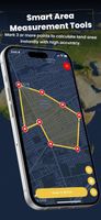


EarthBrowser is an innovative earth simulation that combines an easy to navigate 3 dimensional globe with real-time weather conditions and 7 day forecasts for thousands of locations worldwide. Live earthquakes, hurricanes, webcams, volcanoes and cloud animations are just some of...
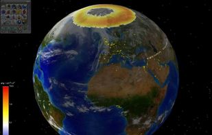
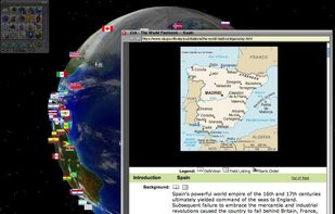


HooMap is a browser-based tool designed to transform CSV and Excel coordinate data into interactive maps in seconds. Built for researchers, students, and data enthusiasts, it allows you to visualize spatial data directly in your workflow without the need for complex GIS software...
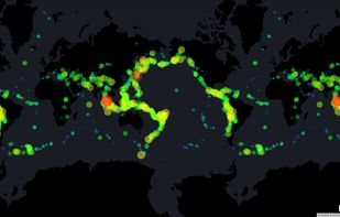
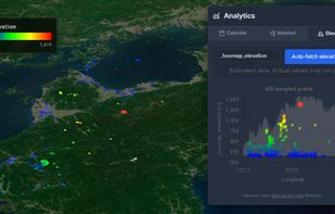
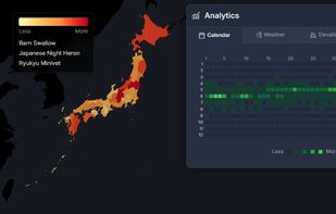
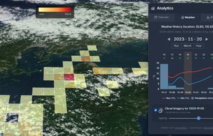


Explore the world in real-time with Live Earth Camera Earth3D. View 3D Earth maps, live street view, famous landmarks, and nearby places all in one navigation app.
United States
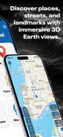



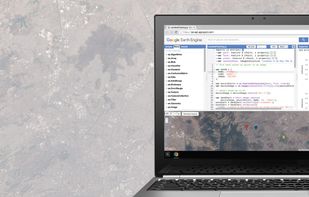
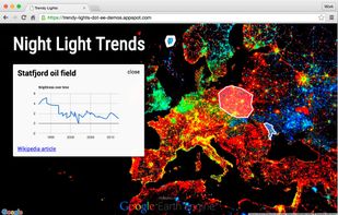
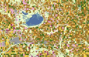
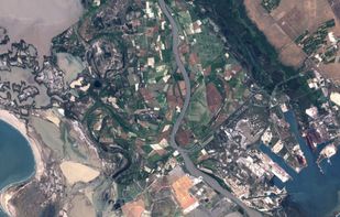
Google Earth Engine combines a multi-petabyte catalog of satellite imagery and geospatial datasets with planetary-scale analysis capabilities. Scientists, researchers, and developers use Earth Engine to detect changes, map trends, and quantify differences on the Earth's...
United States