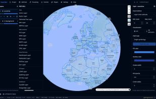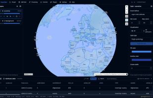
A lightweight, cloud-native GIS platform for visualizing, exploring, and analyzing geospatial data across desktop and web environments, with a responsive layout for mobile screens.
United States


+9
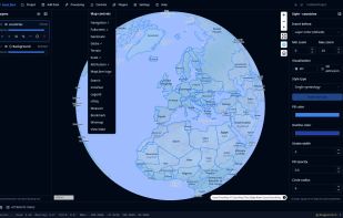
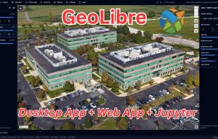
A lightweight, cloud-native GIS platform for visualizing, exploring, and analyzing geospatial data across desktop and web environments, with a responsive layout for mobile screens.


A lightweight, private, and fully customizable map app based on OpenStreetMap. Change your perspective, plan routes, explore areas in 3D, and export views without tracking.


Free, open-source map editor built on OpenStreetMap. Create individual maps for your places, tracks and events - customize, collaborate and share in real-time.