Best alternatives are 

61 alternatives


Self-hosted trip planner for real-time collaboration, drag-and-drop itineraries, interactive maps, budget tracking, packing lists, and group coordination.


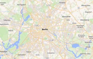
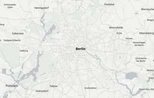
Free map hosting solution offers customizable map styles from OpenStreetMap, with no usage limits or registration required.
 Hungary
 EU


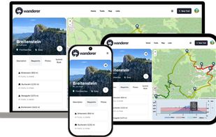
wanderer is a self-hosted trail database. You can upload your recorded tracks or create new ones and add various metadata to build an easily searchable catalogue.


 GermanyEU


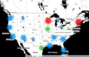
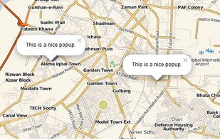
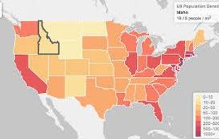
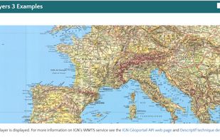
Leaflet is a modern open-source JavaScript library for mobile-friendly interactive maps. It is developed by Vladimir Agafonkin with a team of dedicated contributors. Weighing just about 28 KB of JS code, it has all the features most developers ever need for online maps.
 Ukraine

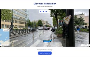
Panoramax is a digital resource for sharing and exploiting field photos. Anyone can take photographs of places visible from the public highway and contribute them to the Panoramax database. This data is then freely accessible and reusable by all.
 FranceEU


MapLibre GL is a community-led fork derived from mapbox-gl-js before their switch to a non-OSS license.


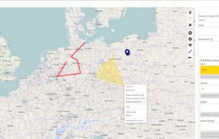
uMap let you create maps with OpenStreetMap layers in a minute and embed them in your site. Add custom annotations, lines, shapes, import and add custom layers (KML, CSV, GPS, ...) and other data.
FranceEU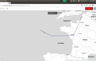

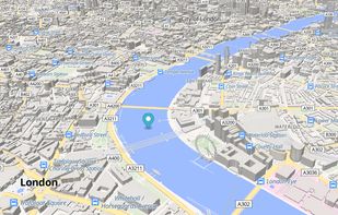
Streets GL is a real-time 3D map renderer built for visualizing OpenStreetMap data with a heavy focus on eye-candy features.




 OpenStreetMapand

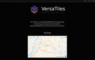
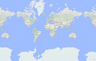
Open-source stack for processing and distributing OpenStreetMap-based interactive map tiles, featuring customizable implementation free of commercial interests.
 United States


FacilMap is a privacy-friendly, open-source versatile online map that combines different services based on OpenStreetMap and makes it easy to find places, plan trips and add markers, lines and routes to custom maps with live collaboration.
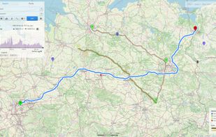

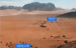
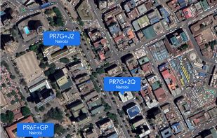
A plus code address looks like a regular address, but with a short code where the street name and number would be. These addresses exist for any location, even for places where there are no roads.
United States

Protomaps is an open source map of the world, deployable as a single static file on cloud storage.
United States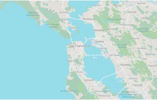
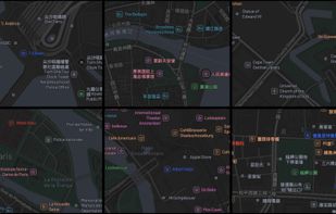


Traccar is open source server for various GPS tracking devices. At the moment server supports many types of trackers, mostly cheap devices made in Asia. An simple web application to manage devices.
United States


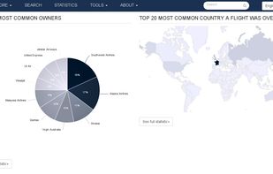
Open source project displaying aircrafts, vessels and gps trackers on a map. Browse through the data based on a particular aircraft, airline,airport, owner, vessel or tracker to search through the database or see extensive statistics.
FranceEU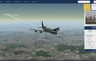
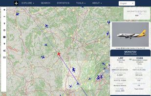
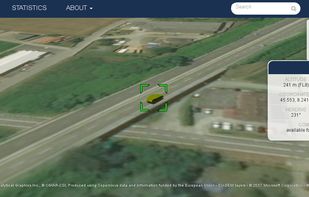


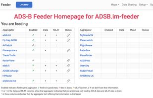
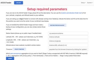
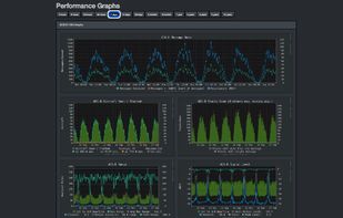
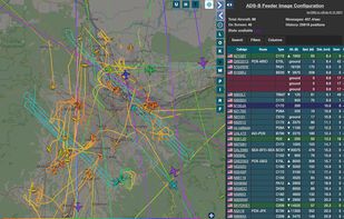
Simple to use ADSB Feeder Images. The easiest way to track nearby aircraft with your own hardware and share with others. Plot aircraft on your own map, and share to aggregators like adsb.lol, Fly Italy Adsb, TheAirTraffic, adsb.fi, ADS-B Exchange, ADSBHub, ADS-B One, airplanes.


 StreetCompleteand


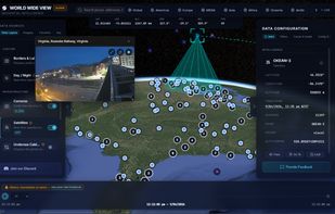
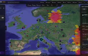
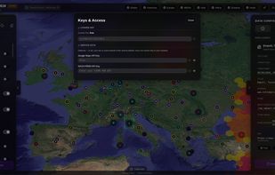
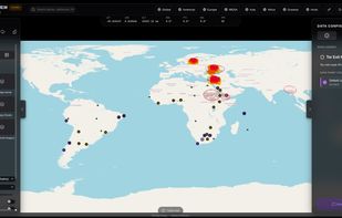
A modular situational awareness platform designed to ingest live data streams and render them as interactive, cinematic layers on a high-fidelity CesiumJS 3D globe.


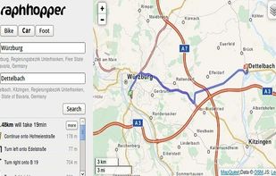
A fast driving directions API with world wide coverage. Based on open source software and OpenStreetMap. Stay independent and flexible.
GermanyEU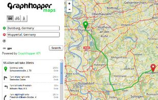
 CoMapsand
 Organic Maps
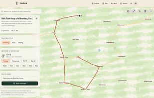
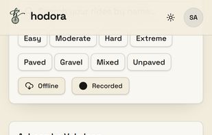
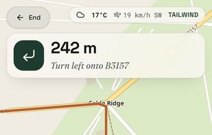
Hodora is a modern, open-source GPX bike navigation app built for club rides, sportives and cycling events. Import the ride GPX and follow it with live turn-by-turn navigation, without buying a dedicated bike computer or paying for another app subscription.


 Leaflet

In particular, within the framework of the new social life conditions we are in with the Covid-19 pandemic process, people do not want to order with ordinary menus that are touched by everyone in social places.


 FastQRMenuand
 FlyMenu

nodejs library to search for any place in any language. You can also use free open API from https://vakit.vercel.app

The Headway Project was born out of a frustration with the need to send current and future location data to a corporation in order to figure out how we’re getting from A to B. Offline-only maps apps can be frustrating to use, and sometimes suffer from performance problems, poor...
 OpenStreetMapand