Flitsmeister is an app that helps you avoid fines, roadworks, traffic jams and accidents while driving. It warns you of speed cameras, speed enforcement zones, roadworks, delays and dangerous situations on the road.
 Netherlands
 EU







The best alternative to Waze is Organic Maps, which is both free and Open Source. If that doesn't suit you, our users have ranked more than 50 alternatives to Waze and many of them are from the EU so hopefully you can find a suitable replacement. Other interesting alternatives to Waze are OsmAnd, Magic Earth, HERE WeGo and Mapy.com.
Flitsmeister is an app that helps you avoid fines, roadworks, traffic jams and accidents while driving. It warns you of speed cameras, speed enforcement zones, roadworks, delays and dangerous situations on the road.
NetherlandsEU
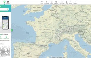
Online French mapping platform featuring detailed address and place search, interactive route planning, real-time traffic, public transit integration, customizable journeys, distance and cost calculations, and printable itineraries, accessible on both web and mobile devices.
 FranceEU


Provides GPS navigation for on-road and off-road journeys on Android and Linux, utilizing a forked libosmscout backend, with GPX reading and writing, compass, trip tracker, road routing, POI database, offline mapping, data import/export, and suitable for outdoor activities.
FranceEU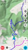
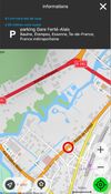
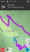


Free GPS navigation using offline OpenStreetMaps, monthly updates, voice navigation in multiple languages, route planning, speed and camera alerts, 2D/3D maps, traffic info, CarPlay beta support, and customizable routing for over 200 countries.
 CzechiaEU
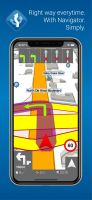
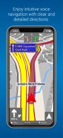
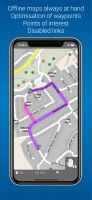


Feature-packed offline navigation with turn-by-turn voice directions, enriched OSM maps, traffic-aware rerouting, lane assistance, restaurant details, parking finder, walking routes, contact navigation, arrival sharing, tourist guidance, and regular updates.
 PortugalEU





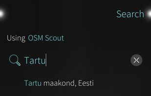
Pure Maps is a full-featured map and navigation application allowing you to explore maps, search for addresses and points of interest, as well as assist with navigation.
 FinlandEU
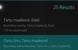

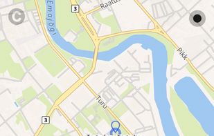


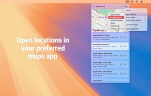
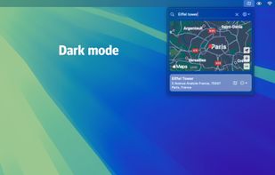
Quickly search for locations directly from your Mac’s menu bar and open them in Apple Maps, Google Maps, or OpenStreetMap.
NetherlandsEU



Offline mapping for hiking on iOS and Android offers customizable map styles, overlays, HD detail toggles, location tracking, advanced GPS settings for battery savings, detailed search, marker creation, and access to weather, itineraries, and all data offline.
FranceEU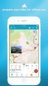
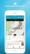



 GermanyEU

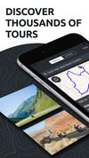
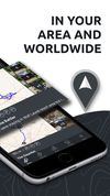


Offline maps with monthly updates, detailed OpenStreetMap data, turn-by-turn and voice navigation in nine languages, GPS track recording even in background, multilingual instant search, millions of POI, support for driving, cycling, walking, and customizable trip routes.
 PolandEU
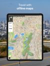
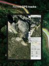
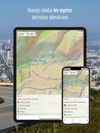


Android navigation app with high-quality offline HD maps, voice-guided turn-by-turn directions, speed and lane guidance, POI search by category, supports driving, biking and walking, automatic rerouting, itinerary planning, and multilingual interface for travelers.
 RomaniaEU
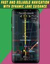




Open source mapping and GPS navigation featuring car, bike, or foot route planning, voice-guided turn-by-turn indicators, global coverage, units in kilometers or miles, and offline map support, powered by OpenStreetMap and Openrouteservice with points of interest search.
 SpainEU