VersaTiles Alternatives
VersaTiles is described as 'Open-source stack for processing and distributing OpenStreetMap-based interactive map tiles, featuring customizable implementation free of commercial interests' and is a Map service in the travel & location category. There are more than 50 alternatives to VersaTiles for a variety of platforms, including Web-based, Android, Self-Hosted, Windows and Mac apps. The best VersaTiles alternative is Google Maps, which is free. Other great apps like VersaTiles are OpenFreeMap, GMaps WV, uMap and MapLibre.
Alternatives list

A location intelligence and visualization engine that empowers you to effortlessly transform data into insights. With CartoDB, connect and map location data, quickly customize your visualizations, and develop powerful location based apps.


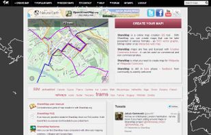
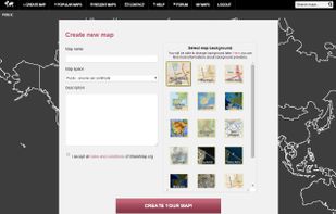
Sharemap is an online map creation GIS tool. With ShareMap you can create maps that can be later presented in various formats - as SVG vector graphic, bitmap raster or as interactive web map. Maps are free and licensed with Creative Commons license - it can be used on commercial...
 +1
+1

 121 Plan.TomTom.com alternatives
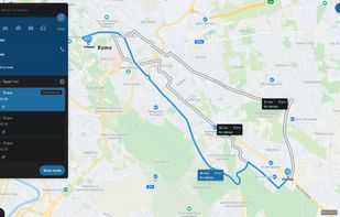
Web-based platform for trip planning offering live traffic info, multiple route options, device syncing, integration with mobile navigation, commute delay monitoring, map interactivity, vehicle type support, route optimization, experimental features, and secure account settings.

 31 ZeeMaps alternatives
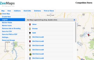
Use ZeeMaps to create, make, and publish interactive, customized maps. Make a map of places you have visited, your customers, friends, or relatives. Create a map of garage sales or crimes in your neighborhood, map your news story or wedding location.
Cost / License
- Freemium
- Proprietary
Platforms
- Online


MapServer is an Open Source platform for publishing spatial data and interactive mapping applications to the web. Originally developed in the mid-1990’s at the University of Minnesota, MapServer is released under an MIT-style license, and runs on all major platforms (Windows...


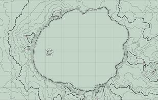
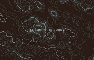
Topograph turns real elevation data into clean, customizable topographic graphics. Generate from data, upload your own sources, or search any location. Adjust contour density, styles, and color, then export as SVG, PNG, PDF, GeoJSON, DXF, or STL. Runs client-side.
 +2
+2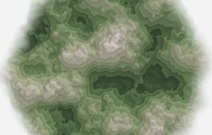


Google Maps API is a collection of APIs that enable you to overlay your own data on a customized Google Map. You can create engaging web and mobile applications with Google’s powerful mapping platform including satellite imagery, street view, elevation profiles, driving...
Cost / License
- Freemium
- Proprietary
Platforms
- Online


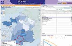
The Géoclip interactive mapping solution is proposed by EMC3. Géoclip permits to publish online thematic atlas or territorial observatories. Géoclip allows you to build web mapping applications for cartographic representations of statistical data.