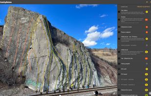
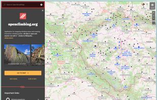
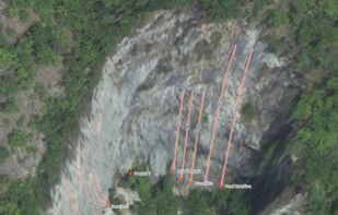
Application for mapping climbing areas and creating interactive climbing guides. All data is open and anyone can edit it – similar to Wikipedia.



+3
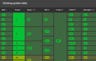


Apps similar to Trail Explorer include openclimbing.org, which is free and open source. Other options are Komoot, OruxMaps, Outdooractive and Relief Maps. You can choose from more than 10 GPS Navigation Services like Trail Explorer for the web, Android, iPhone and iPad.
Application for mapping climbing areas and creating interactive climbing guides. All data is open and anyone can edit it – similar to Wikipedia.

Komoot is the key to the outdoors. Just plan your hiking, road cycling or MTB adventures in the planner, and be guided along every trail, track, road or path—even when you’re offline. Get your first region for free and say hello to your next adventure!
 Germany
 EU

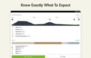
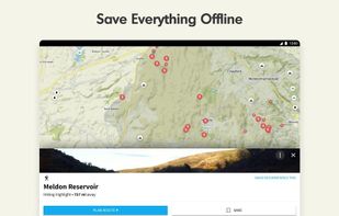
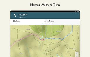


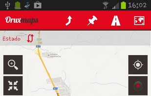
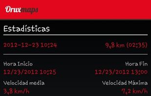
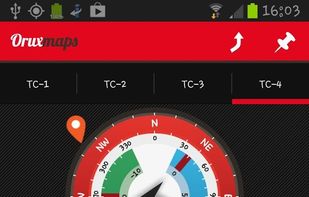
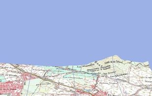
OruxMaps is an online/offline map viewer and track logger for Android. You can use OruxMaps for your outdoor activities (running, trekking, mountain bike, paragliding, flying, nautic sports, etc.)
Features:
Online map viewer The tiles used online can be cached, and can be used.
 SpainEU


Outdooractive is a digital platform for planning and navigating outdoor activities worldwide. It offers reliable maps, routes, and weather data, and allows users to explore various locations, access exclusive features and discounts, and connect with official organizations and...
GermanyEU
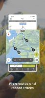


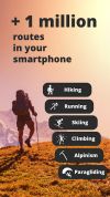
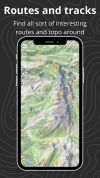
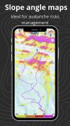
Relief Maps is a GPS application focused on outdoor sports, the app is based on an beautiful and high-performance 3D map.


Mountain Planet provides a platform for people to contribute secure information about mountain routes, conditions, equipment and service providers. The goal is to combine existing pieces into a new quality of climbers experience by creating a web-based, free content encyclopedia...



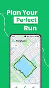
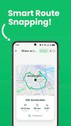
Plan running routes by tapping waypoints on a map — with surface analysis, elevation data, roundtrip generation, turn-by-turn navigation, and workout plans. Free, no account required, no ads.
 NetherlandsEU



Camplike helps you find and book camps, special events where the program, entertainment and activities are already organized for you. It's a platform for organizers to share and for users to discover great outdoor activities.


Find the best places for hiking, climbing, skiing, snowshoeing, kayak, trekking, camping, bike, mountain bike and lot more.
 United States
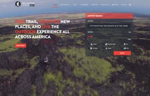


Yonder helps you to discover and plan outdoor adventures. Through a massive database of destinations, you'll find great locations for hiking, climbing, biking and more.
United States
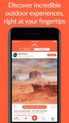
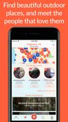


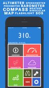
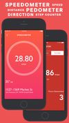
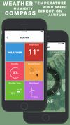
Hiker is a multipurpose app equipped with features like barometer, altimeter, compass over your current satellite location, weather updates, speedometer and pedometer. Use maps and binoculars for scouting. And flashlight, SOS for exigencies.


Walking through the AR Labyrinth No Monster No Treasure, just get lost in the maze as you like.