Maximize the use of your Excel spreadsheet data. Make mapping the easiest. Transform Excel data into visual analysis. We lead in data simplification and presentation. We are committed to deliver the tools needed to outpace competition.






The best Map alternative to QGIS is ArcGIS. It's not free, so if you're looking for a free alternative, you could try Overpass Turbo or GRASS GIS. If that doesn't suit you, our users have ranked more than 50 alternatives to QGIS and many of them are Map Services so hopefully you can find a suitable replacement. Other interesting Map Service alternatives to QGIS are Global Mapper, Maptitude, MapInfo Professional and MapLarge.
Maximize the use of your Excel spreadsheet data. Make mapping the easiest. Transform Excel data into visual analysis. We lead in data simplification and presentation. We are committed to deliver the tools needed to outpace competition.

KML to KMZ, Geojson, Topojson, GPX, CSV, converter now available on the app store feel free to download because it's fully free. convert any compatible file format.
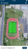


TerraVisu is an interactive web application designed to visualize and analyze spatial data, providing an engaging interface to showcase and explore territorial dynamics and immersive experiences.
 France
 EU



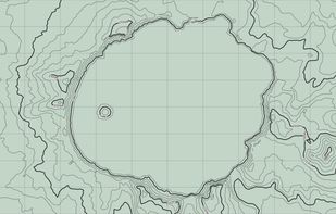
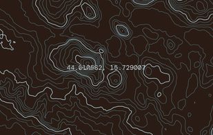
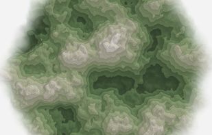
Topograph turns real elevation data into clean, customizable topographic graphics. Generate from data, upload your own sources, or search any location. Adjust contour density, styles, and color, then export as SVG, PNG, PDF, GeoJSON, DXF, or STL. Runs client-side.
 United States


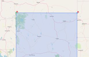
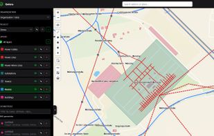
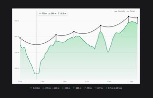
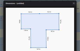
Online GIS map editor: draw and measure on the map, digitize PDF drawings and scanned maps, import OpenStreetMap data, GeoJSON in/out, elevation profiles.



HooMap is a browser-based tool designed to transform CSV and Excel coordinate data into interactive maps in seconds. Built for researchers, students, and data enthusiasts, it allows you to visualize spatial data directly in your workflow without the need for complex GIS software...
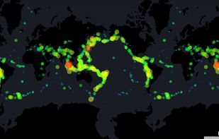
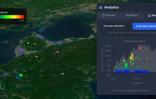
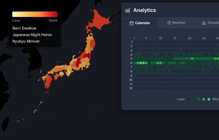
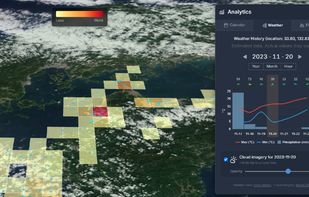


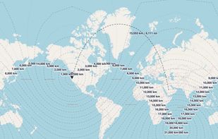
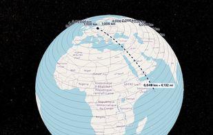
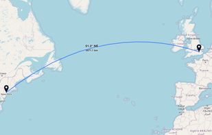
GeoUtil.com is a free, browser-based map and geography toolkit. Measure distances and areas, convert coordinates, optimize GeoJSON/TopoJSON, and visualize spatial data — all quickly, accurately, and without installing any software.