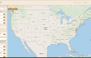


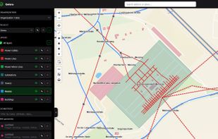
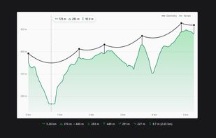
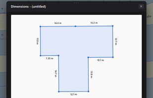
Online GIS map editor: draw and measure on the map, digitize PDF drawings and scanned maps, import OpenStreetMap data, GeoJSON in/out, elevation profiles.




+1





The best free alternative to QGIS is Overpass Turbo, which is also Open Source. If that doesn't suit you, our users have ranked more than 50 alternatives to QGIS and many of them are free so hopefully you can find a suitable replacement. Other interesting free alternatives to QGIS are GRASS GIS, Maptitude, gvSIG Desktop and MapLarge.
Online GIS map editor: draw and measure on the map, digitize PDF drawings and scanned maps, import OpenStreetMap data, GeoJSON in/out, elevation profiles.

HooMap is a browser-based tool designed to transform CSV and Excel coordinate data into interactive maps in seconds. Built for researchers, students, and data enthusiasts, it allows you to visualize spatial data directly in your workflow without the need for complex GIS software...
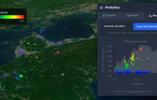
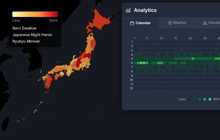
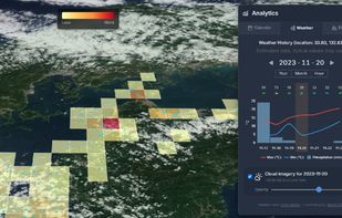


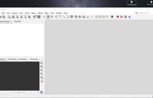
SNAP is a common architecture for FOSS toolboxes developed by the European Space Agency (ESA) for the scientific processing, analysis, and exploitation of satellite data.
 France
 EU
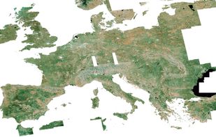


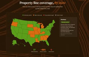
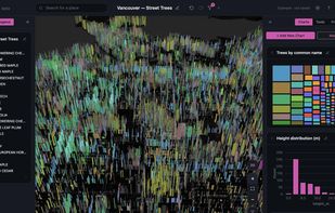
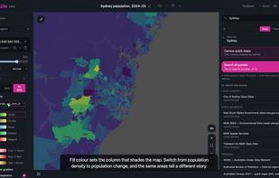
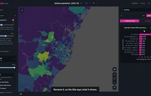
Web-based mapping and analytics tool that searches hundreds of open-data portals, flags each dataset's licence, and automatically joins tables with geographic boundaries. Build maps and charts on a canvas, then publish interactive data stories through a shareable link.
 Australia


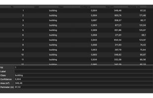
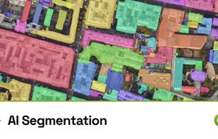
Digitizing imagery by hand is the slowest job in GIS. AI Segmentation does it inside QGIS. Click one object and get its outline, free with no counter, running locally on the CPU. Or type what you want, such as buildings, solar panels or trees, and get every match across a drawn...
FranceEU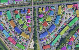


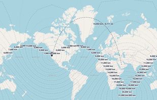
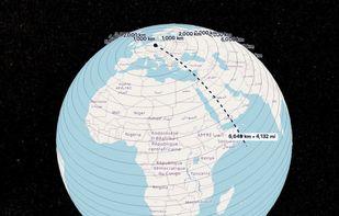
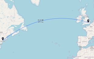
GeoUtil.com is a free, browser-based map and geography toolkit. Measure distances and areas, convert coordinates, optimize GeoJSON/TopoJSON, and visualize spatial data — all quickly, accurately, and without installing any software.
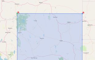


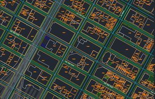
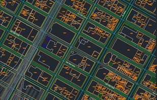
Draw a box, hit generate, and get a professional-grade DXF file for AutoCAD. Made for make ready drafters and utility permit engineers tired of hand-tracing roads.