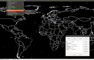
Esri Geoportal Server is a free, open source product that enables discovery and use of geospatial resources including datasets, rasters, and Web services.
Cost / License
- Free
- Open Source
Since
- Since 2015





The best free alternative to QGIS is Overpass Turbo, which is also Open Source. If that doesn't suit you, our users have ranked more than 50 alternatives to QGIS and many of them are free so hopefully you can find a suitable replacement. Other interesting free alternatives to QGIS are GRASS GIS, Maptitude, gvSIG Desktop and MapLarge.
Esri Geoportal Server is a free, open source product that enables discovery and use of geospatial resources including datasets, rasters, and Web services.

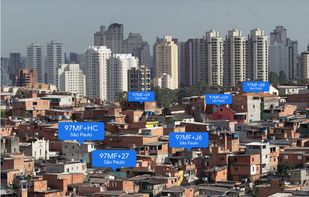
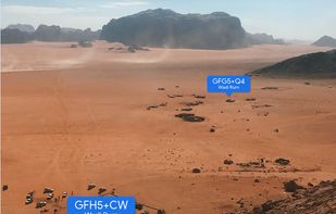
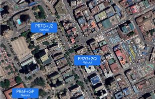
A plus code address looks like a regular address, but with a short code where the street name and number would be. These addresses exist for any location, even for places where there are no roads.
 United States




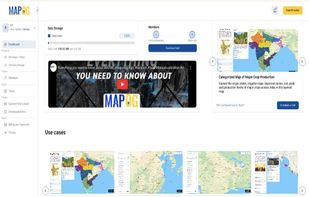
MAPOG is an AI-powered interactive mapping platform that lets users create map-based stories, add images, videos, links, and details to pins, manage tasks, collect field data, sort locations by live position, and share or embed maps.
 India
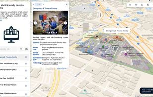
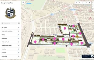
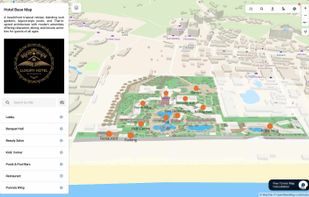


UnderScope Map is a Data management software solution designed for utilities industry. Main features includes utilities data management , utilities products distribution, utility locating management and utility construction management.
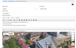
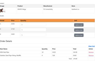


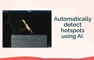
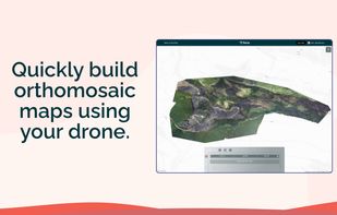
Fire AI is a software company that provides a modern, streamlined solution for wildfire intelligence. Our platform allows firefighters to create, edit, share, and store their maps in one place, making it easier to quickly understand the fire, map it with drones, and share...



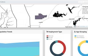
Corgilytics allows non-technical users to explore geographies using demographic, psychographic and other useful data sets.
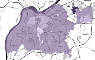

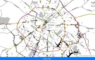


Maximize the use of your Excel spreadsheet data. Make mapping the easiest. Transform Excel data into visual analysis. We lead in data simplification and presentation. We are committed to deliver the tools needed to outpace competition.
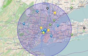
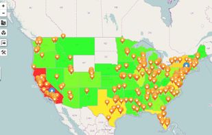


MICRODEM is a freeware microcomputer mapping program written by Professor Peter Guth of the Oceanography Department, U.S. Naval Academy. MICRODEM displays and merges digital elevation models, satellite imagery, scanned maps, vector map data, and GIS databases.
United States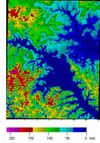


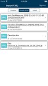
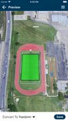
KML to KMZ, Geojson, Topojson, GPX, CSV, converter now available on the app store feel free to download because it's fully free. convert any compatible file format.



TerraVisu is an interactive web application designed to visualize and analyze spatial data, providing an engaging interface to showcase and explore territorial dynamics and immersive experiences.
 France
 EU