


Platforms
- Android
- iPhone







Apps similar to Kugelblitz include OpenStreetMap, which is free and open source. Other options are Google Earth, KStars, Zoom Earth and Street GL. You're spoiled for choice with Map Services like Kugelblitz: we list more than 25 alternatives for the web, Windows, Android, iPhone and Mac.

The new standard for GIS software. Simple and powerful. Step into Atlas to explore, analyze and share geospatial data.
 Norway


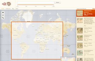
Comprehensive platform for locating digitized historical maps worldwide, offering geographic and temporal search tools, direct links to primary map images, metadata details, and access to collections from libraries, museums, and archives.


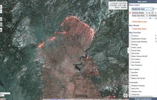
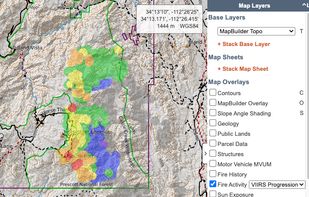
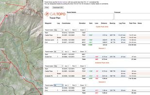
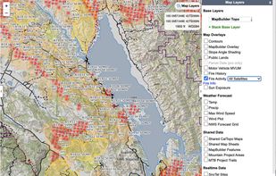
Trusted by professional mountain guides, avalanche educators, and search and rescue teams, CalTopo has all the features you need to plan your next off-grid pursuit.
 United States

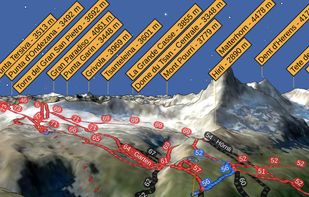
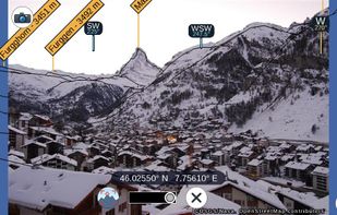
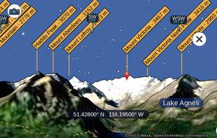
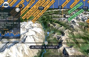
PeakNav drapes satellite imagery, OpenStreetMap trails and place names over a real elevation model of the whole planet. Fly over any range, tap a summit to orbit it, point your phone at the horizon to name the peaks in front of you, or open a photo and have it tagged with the...


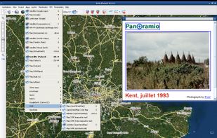
This program allows work with any maps service if you can describe getting picture by longitude/latitude(if you want you can write config file or simplepascal script to describe how obtain needle photos).



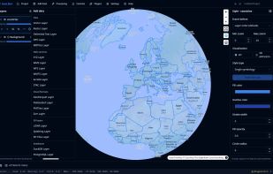
A lightweight, cloud-native GIS platform for visualizing, exploring, and analyzing geospatial data across desktop and web environments, with a responsive layout for mobile screens.
United States
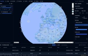
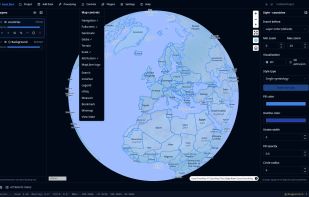


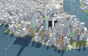
F4map provides tailored 2D and 3D map solutions with accurate geo-localized content, highlighting famous buildings, real-time effects, 3D animations, and user collaboration, accessible without plugins and available on mobile devices. Seamless data integration enhances functionality.
 France
 EU





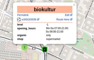
TransforMap works towards an online platform for you to visualize the myriads of alternatives to the dominant economic thinking on a single mapping system.


Modest Maps is a small, extensible, and free library for designers and developers who want to use interactive maps in their own projects. It provides a core set of features in a tight, clean package with plenty of hooks for additional functionality.
United States


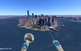
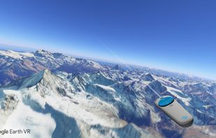
The world has so many beautiful and amazing places to visit. If we're lucky, we're able to travel and see a few of them. But even the most active travelers can only see a fraction. What if we could see them all?
United States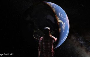


 Russia


