Updated with every user suggestion at least twice a week for almost an year, Top Features are:
Platforms
- Meta Quest


+7


Apps similar to Kugelblitz include OpenStreetMap, which is free and open source. Other options are Google Earth, KStars, Zoom Earth and Street GL. You're spoiled for choice with Map Services like Kugelblitz: we list more than 25 alternatives for the web, Windows, Android, iPhone and Mac.
Updated with every user suggestion at least twice a week for almost an year, Top Features are:

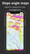
Relief Maps is a GPS application focused on outdoor sports, the app is based on an beautiful and high-performance 3D map.



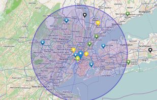
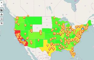
Maximize the use of your Excel spreadsheet data. Make mapping the easiest. Transform Excel data into visual analysis. We lead in data simplification and presentation. We are committed to deliver the tools needed to outpace competition.


Traveling the world in VR using a 3D Map, choosing 360° Panoramas. Or playing a game of "Where on the Wooorld", trying to find the location of the 360° Panorama on the 2D Map.
 United States


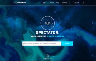
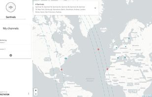
Spectator simplifies access to satellite imagery from NASA, ESA and other providers. It gives you access to images archives, but also tracks satellites in real-time to give you information about next image acquisition.


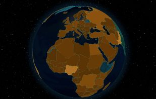
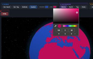
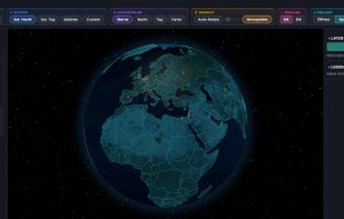
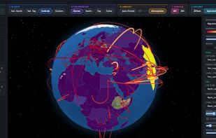
Turn any CSV into a rotating 3D globe. Choropleth maps, 3D columns, points & connection arcs — 244 countries, 19 palettes, 4 textures incl. NASA imagery. Export as PNG or standalone HTML. Fully offline, one-time purchase.


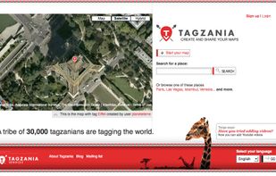
Tagzania is an application that helps you saving your places of the world. Using Tagzania you can save the place where you were first kissed, where you were born or where you work. You decide what to save



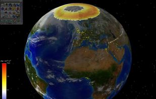
EarthBrowser is an innovative earth simulation that combines an easy to navigate 3 dimensional globe with real-time weather conditions and 7 day forecasts for thousands of locations worldwide. Live earthquakes, hurricanes, webcams, volcanoes and cloud animations are just some of...
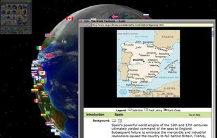


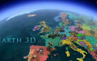
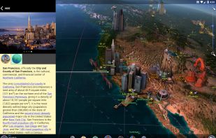
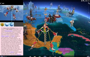
This interactive 3D globe features wonders of the world, political and geographic maps, and weather. Discover a lot of fascinating facts and useful information about our planet! Original and colorful graphics, user-friendly interface and accurate information – this is what Earth...
 Russia


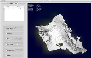
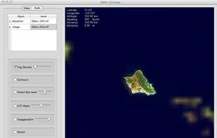
Libmini is free software that displays geographic terrain data at real-time. This is an example application of integrating libmini in the Qt user interface. The application, the libMini QTViewer, primarily uses libmini viewer functions but provides additional camera control.


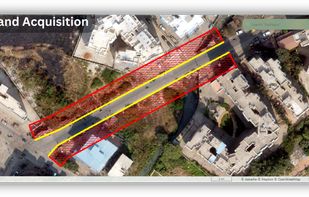
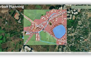
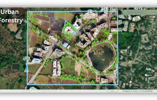
Aakashe is an instant drone imagery platform based in India. The subscription-based solution provides high-resolution aerial data to customers in infrastructure, urban planning, and real estate sectors.
 United Kingdom