

ExifTool is a platform-independent Perl library plus a command-line application for reading, writing and editing meta information in a wide variety of files.
 Canada




Apps similar to KGeoTag include ExifTool, which is free and open source. Other options are ExifToolGUI, FrameTags, GeoImageTagger and Parergon Metadata Editor for mac. You can choose from more than 10 Metadata Editors like KGeoTag for Mac, Windows, Linux, the web and Android.
ExifTool is a platform-independent Perl library plus a command-line application for reading, writing and editing meta information in a wide variety of files.
Canada
Graphical user interface to ExifTool for reading and writing metadata in images.
 Slovenia
 EU


FrameTags is a PySide6 desktop utility that allows photographers to apply metadata to large photo sets in bulk. In version 1, users can select directories, scan with optional recursive traversal, choose metadata fields to apply, preview changes before writing, and apply metadata...
 United States



AI-powered image geotagging, EXIF/IPTC/XMP metadata editing, AI photo location finder, watermarking, image editing, and optimization — 9 free browser-based tools.
 GermanyEU
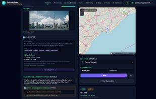
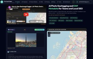
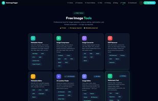

A native macOS app for viewing, editing, searching, and exporting EXIF, IPTC, and XMP metadata across 50+ image and video formats.
 NetherlandsEU
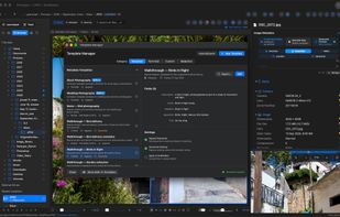
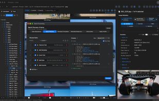
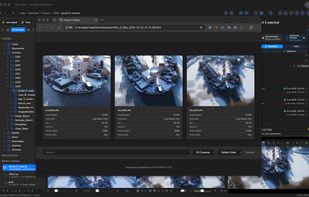
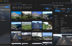

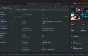
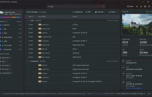
ExifGlass is a cross-platform EXIF metadata viewing tool, designed to work seamlessly with ImageGlass - Photo Viewer, but can also be used as a standalone software on your computer.
 Vietnam

Geotag is an open source program that allows you match date/time information from photos with location information from a GPS unit or from a map


100% Free. Check, Rewrite, Edit, Clean and Manage your Photos and Meta Information!
 China



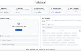
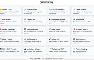
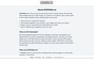
EXIFEditor.io is a fast, privacy-focused online EXIF editor and viewer. Instantly view, edit, or remove EXIF metadata from your images—right in your browser, with no uploads and no registration required.

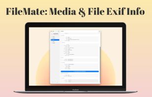
The ultimate file inspection and metadata editing utility for your Mac. Drag and drop any file to instantly reveal and edit its hidden data without re-encoding.
 United Kingdom

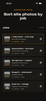
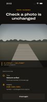
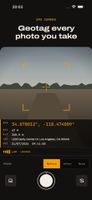
GPS field camera for contractors, inspectors and surveyors that prints coordinates, address, timestamp, map, heading and altitude directly on photos. It works without signal for GPS, creates signed, job-based PDF reports, and keeps photos and records private on-device.
 Morocco