GRASS GIS (Geographic Resources Analysis Support System) is an open source, free software (FOSS) Geographical Information System (GIS) with raster, topological, vector, image processing, and visualization functionality.
 United States


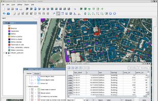


Apps similar to HooMap include OpenStreetMap, which is free and open source. Other options are Google Earth, Grafana, QGIS and HERE WeGo. You're spoiled for choice with Map Services like HooMap: we list more than 100 alternatives for the web, Windows, Mac, Linux and iPhone.
GRASS GIS (Geographic Resources Analysis Support System) is an open source, free software (FOSS) Geographical Information System (GIS) with raster, topological, vector, image processing, and visualization functionality.
United States
TransforMap works towards an online platform for you to visualize the myriads of alternatives to the dominant economic thinking on a single mapping system.
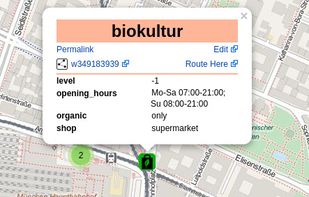


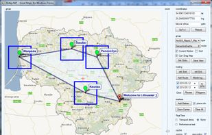
GMap.NET is great and Powerful, Free, cross platform, open source .NET control. Enable use routing, geocoding, directions and maps from Google, Yahoo!, Bing, OpenStreetMap, ArcGIS, Pergo, SigPac, Yandex, Mapy.cz, Maps.lt, iKarte.
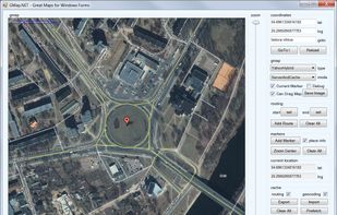



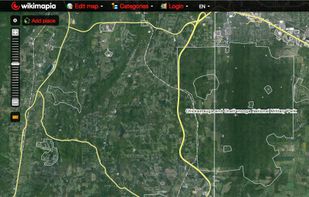
Wikimapia is an online editable map - you can describe any place on Earth. Or just surf the map discovering tonns of already marked places.
 Russia


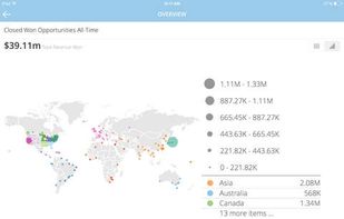
Domo is a cloud-based business management platform that gives CEOs, managers and information workers across the business the ability to make faster, more effective decisions by giving them one place to easily access all the information they need.
United States



Modest Maps is a small, extensible, and free library for designers and developers who want to use interactive maps in their own projects. It provides a core set of features in a tight, clean package with plenty of hooks for additional functionality.
United States


Aciqra (uh-SEE-kruh) is a free and open source virtual sky map and planetarium which tracks and displays astronomical bodies including planets, nebulae and stars to an accuracy of a fraction of a degree for thousands of years into both the future and the past.


Professional desktop GIS supporting most ArcGIS (and other) data formats, enterprise spatial databases, 5,000 pre-defined coordinate systems, and built-in scripting IDE for customization and feature extensions.

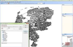
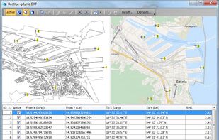


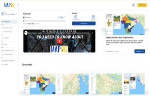
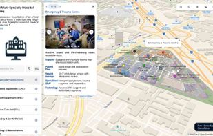
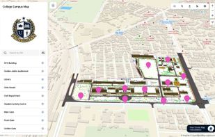
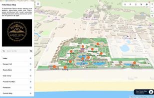
MAPOG is an AI-powered interactive mapping platform that lets users create map-based stories, add images, videos, links, and details to pins, manage tasks, collect field data, sort locations by live position, and share or embed maps.
 India


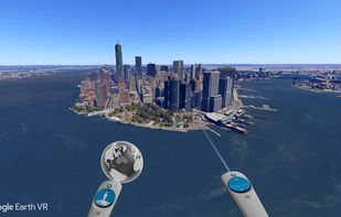
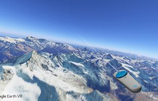
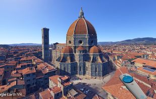
The world has so many beautiful and amazing places to visit. If we're lucky, we're able to travel and see a few of them. But even the most active travelers can only see a fraction. What if we could see them all?
United States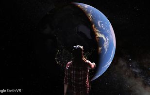


Teradata Corporation (NYSE: TDC) is a global leader in analytic data platforms, marketing and analytic applications, and consulting services, helps organizations become more competitive by increasing the value of their data and customer relationships.
United States